UN/LOCODE hub · Greece
GRSOS

Assos

38.3833°, 20.5333°
297
Population
1
Transport functions

Transport Functions

Port
UN/LOCODE

Hub Profile

Place type
Populated place
GeoNames
Region
Epirus
GeoNames
Population
297
GeoNames
Time zone
Europe/Athens
GeoNames
Elevation
383 m
GeoNames

Location

Location of GRSOS
Natural Earth 10m (public domain) · Epirus · GRSOS · 38.38, 20.53GoogleOSMYandex

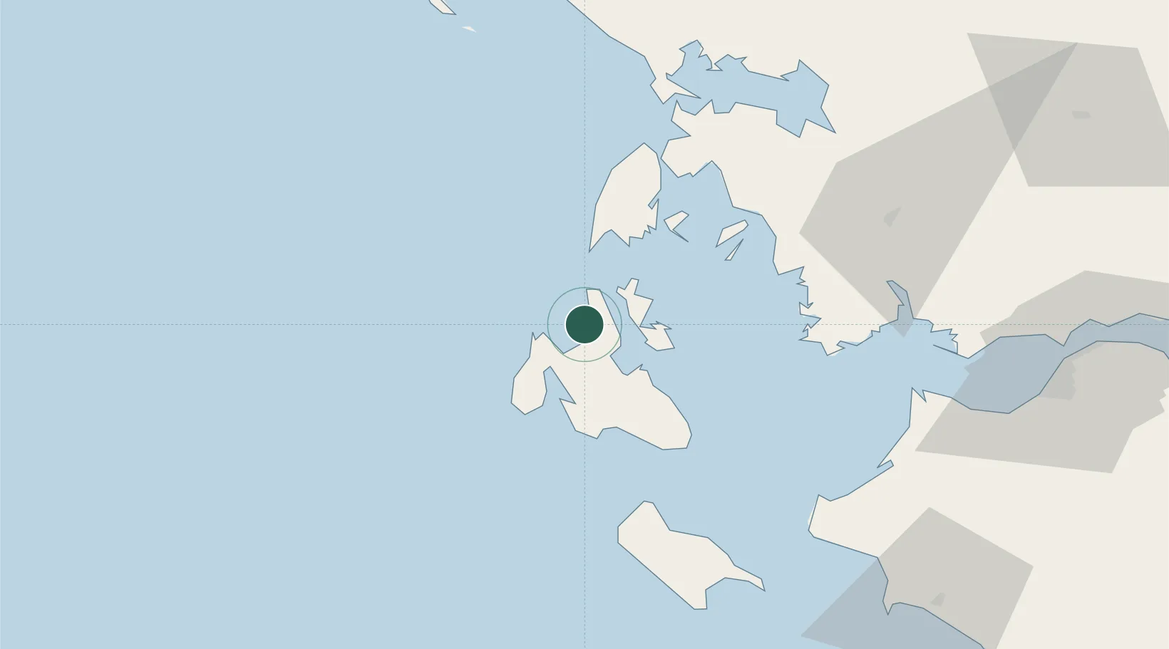
Nearby Logistics Neighbours

Cities
  1. 1Myrtos Beach4 km
  2. 2Fiskárdo8 km
  3. 3Agia Efimia11 km
  4. 4Pissaetos Ithakis14 km
  5. 5Frikes Ithakis15 km
Nearest neighbours — logibook spatial index (haversine) over the source coordinates
Ports
  1. 1Argostolion22 km
  2. 2Astakos51 km
  3. 3Preveza66 km
  4. 4Mesolongion77 km
  5. 5Patrai106 km
Nearest neighbours — logibook spatial index (haversine) over the source coordinates
Airports
  1. 1Kefallinia Airport29 km
  2. 2Aktion National Airport64 km
  3. 3Zakynthos International Airport Dionysios Solomos77 km
  4. 4Patras Araxos Agamemnon Airport82 km
  5. 5Andravida Air Base84 km
Nearest neighbours — logibook spatial index (haversine) over the source coordinates
Trade Zones
  1. 1Free Zone of Platigiali (Astakos Etoloakarnanias)51 km
  2. 2Gjirokastër Freezone190 km
  3. 3Përmet Freezone207 km
  4. 4Vlora Technical and Economic Development Area252 km
  5. 5Korçë Freezone252 km
Nearest neighbours — logibook spatial index (haversine) over the source coordinates
DatabookThe Record of Consolidated Knowledge
Greece beyond logistics?
Browse databook

All Sources

LocationsUN/LOCODE
UN/LOCODE — free
LocationsGeoNames
CC BY 4.0
Portsthe NGA World Port Index
Public domain (US gov)
AirportsOurAirports
Public domain
Trade Zonesthe World Bank SEZ database
CC BY 4.0
Trade ZonesOpen Zone Map
CC BY
← Greece locations