Transport Functions
Port
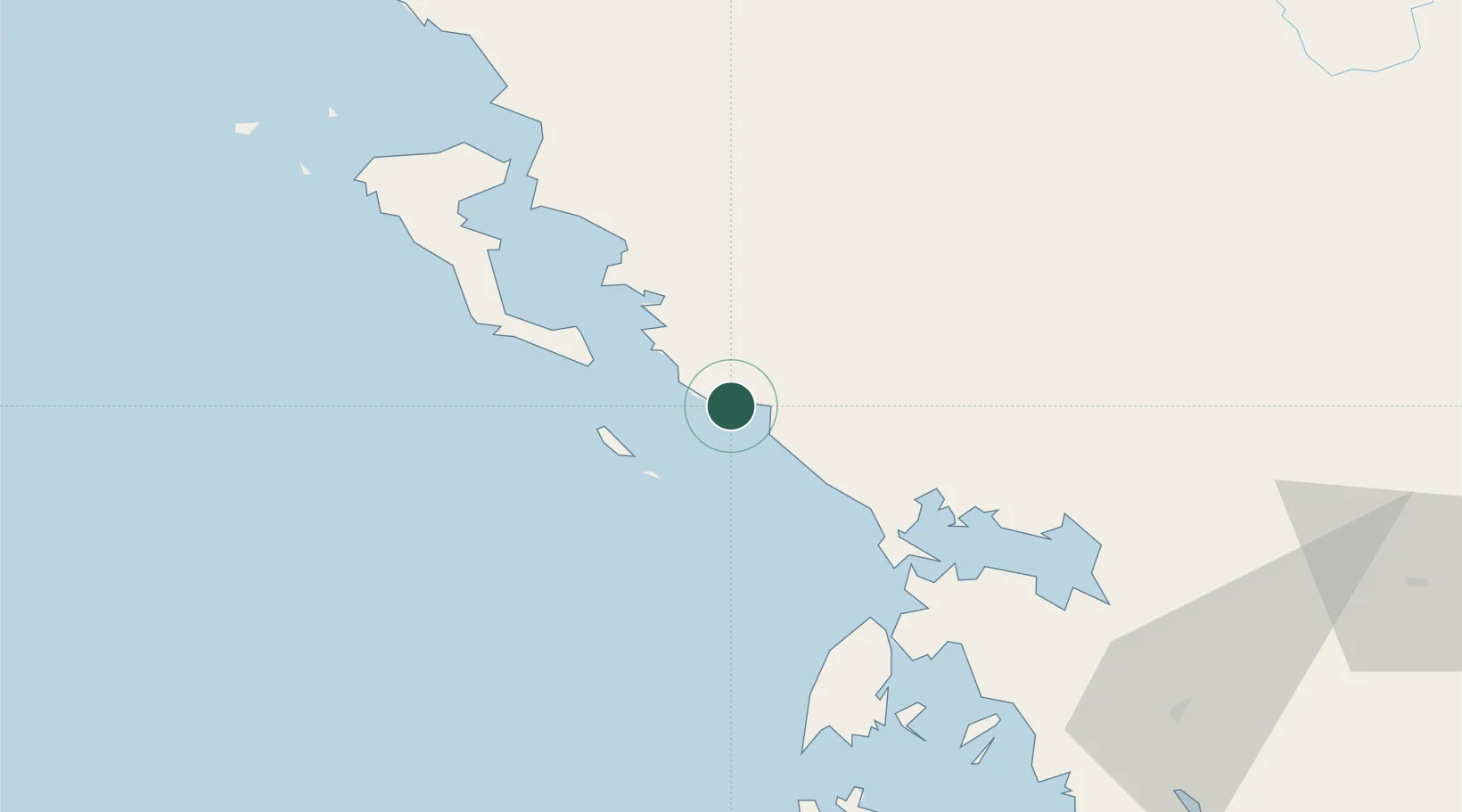
Hub Profile
Place type
Populated place
Region
Epirus
Population
2,379
Time zone
Europe/Athens
Elevation
12 m
Location
Nearby Logistics Neighbours
Cities
- 1Syvota19 km
- 2Antipaxoi21 km
- 3Paxi21 km
- 4Plataria21 km
- 5Igoumenítsa27 km
Ports
- 1Preveza48 km
- 2Kerkira55 km
- 3Astakos108 km
- 4Argostolion123 km
- 5Mesolongion135 km
Airports
Trade Zones
DatabookThe Record of Consolidated Knowledge
Greece beyond logistics?