Transport Functions
Port
Hub Profile
Place type
Provincial seat
Region
Epirus
Population
9,496
Time zone
Europe/Athens
Elevation
29 m
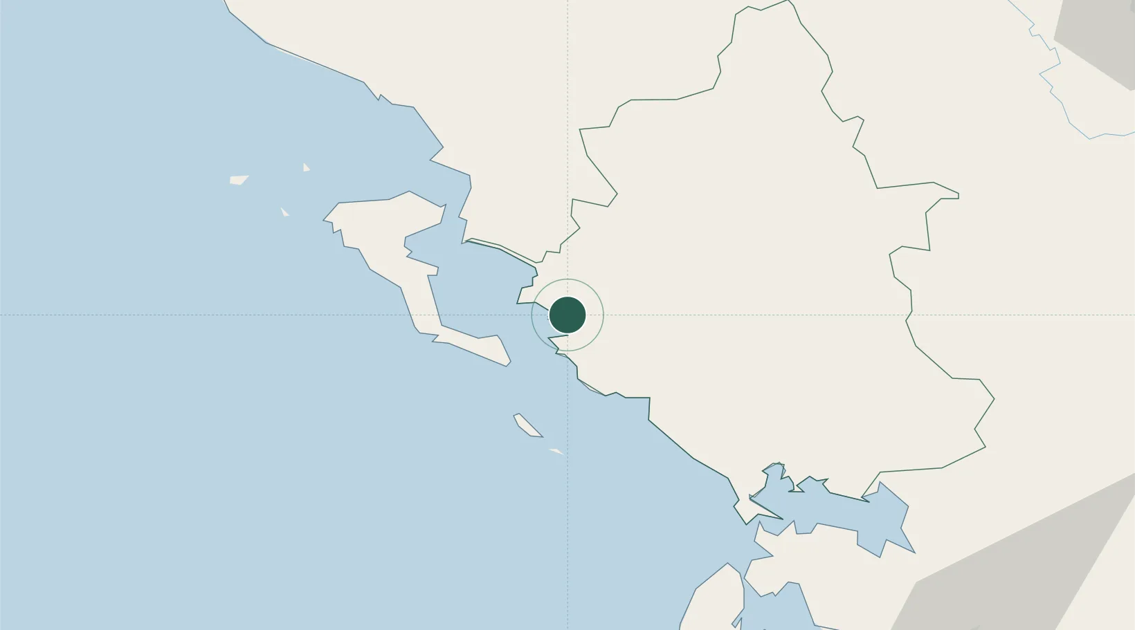
Location
Nearby Logistics Neighbours
Cities
- 1Plataria6 km
- 2Syvota12 km
- 3Skáloma15 km
- 4Sagiada Thesprotias17 km
- 5Lefkímmi17 km
Ports
- 1Kerkira31 km
- 2Preveza74 km
- 3Vlore126 km
- 4Astakos134 km
- 5Argostolion148 km
Airports
Trade Zones
DatabookThe Record of Consolidated Knowledge
Greece beyond logistics?