About
Methodology
Sources
Licensing
English
EN
English
TR
Türkçe
DE
Deutsch
FR
Français
ES
Español
IT
Italiano
PT
Português
NL
Nederlands
PL
Polski
RU
Русский
UK
Українська
CS
Čeština
RO
Română
EL
Ελληνικά
BG
Български
AR
العربية
FA
فارسی
UR
اردو
HI
हिन्दी
BN
বাংলা
ID
Bahasa Indonesia
VI
Tiếng Việt
ZH
中文
JA
日本語
KO
한국어
logibook
/
Countries
/
Greece
/
Locations
/
Paxi
UN/LOCODE hub ·
Greece
GR
PAX
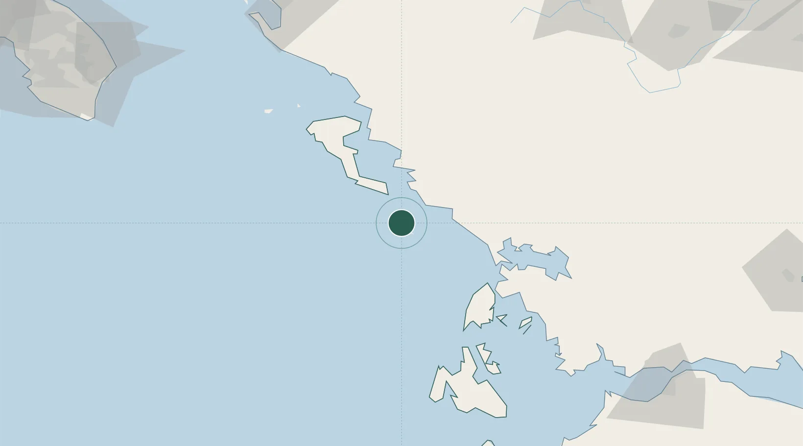
Paxi
39.2000°, 20.1833°
1
Transport functions
Transport Functions
Port
UN/LOCODE
Location
Natural Earth 10m (public domain) · Ionioi Nisoi · GRPAX · 39.20, 20.18
Google ↗
OSM ↗
Yandex ↗
Nearby Logistics Neighbours
Cities
1
Antipaxoi
7 km
2
Párga
21 km
3
Syvota
23 km
4
Lefkímmi
25 km
5
Plataria
29 km
Nearest neighbours — logibook spatial index (haversine) over the source coordinates
Ports
1
Kerkira
51 km
2
Preveza
56 km
3
Astakos
113 km
4
Argostolion
117 km
5
Mesolongion
142 km
Nearest neighbours — logibook spatial index (haversine) over the source coordinates
Airports
1
Corfu Ioannis Kapodistrias International Airport
50 km
2
Aktion National Airport
59 km
3
Ioannina King Pyrrhus National Airport
78 km
4
Kefallinia Airport
123 km
5
Patras Araxos Agamemnon Airport
159 km
Nearest neighbours — logibook spatial index (haversine) over the source coordinates
Trade Zones
1
Gjirokastër Freezone
97 km
2
Free Zone of Platigiali (Astakos Etoloakarnanias)
113 km
3
Përmet Freezone
117 km
4
Vlora Technical and Economic Development Area
156 km
5
Korçë Freezone
168 km
Nearest neighbours — logibook spatial index (haversine) over the source coordinates
Data
book
The Record of Consolidated Knowledge
Greece beyond logistics?
Browse databook
→
All Sources
Locations
UN/LOCODE
UN/LOCODE — free
↗
Ports
the NGA World Port Index
Public domain (US gov)
↗
Airports
OurAirports
Public domain
↗
Trade Zones
the World Bank SEZ database
CC BY 4.0
↗
Trade Zones
Open Zone Map
CC BY
↗
← Greece locations