UN/LOCODE hub · Greece
GRKAH

Káto Achaïa

38.1500°, 21.5500°
5,752
Population
3
Transport functions

Transport Functions

Port
Rail
Road
UN/LOCODE

Hub Profile

Place type
District seat
GeoNames
Region
West Greece
GeoNames
Population
5,752
GeoNames
Time zone
Europe/Athens
GeoNames
Elevation
0 m
GeoNames

Location

Location of GRKAH
Natural Earth 10m (public domain) · West Greece · GRKAH · 38.15, 21.55GoogleOSMYandex

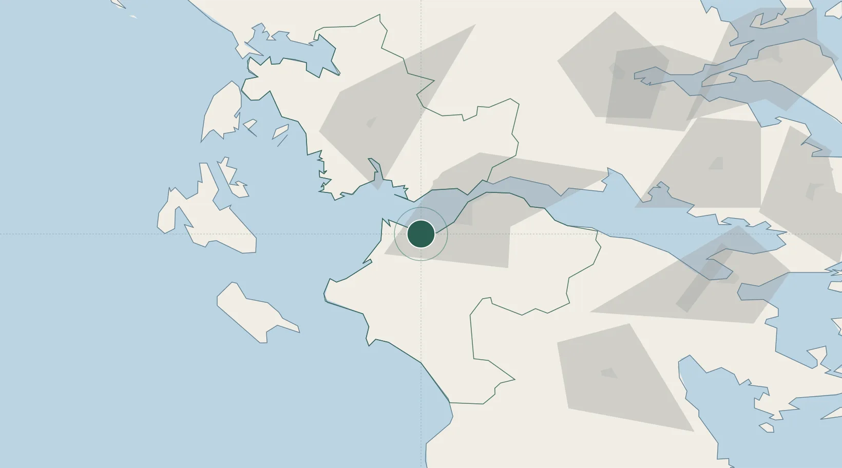
Nearby Logistics Neighbours

Cities
  1. 1Káto Akhaía2 km
  2. 2Riolos14 km
  3. 3Araxos16 km
  4. 4Patras17 km
  5. 5Kryonéri23 km
Nearest neighbours — logibook spatial index (haversine) over the source coordinates
Ports
  1. 1Patrai20 km
  2. 2Mesolongion27 km
  3. 3Aigio48 km
  4. 4Astakos54 km
  5. 5Katakolon59 km
Nearest neighbours — logibook spatial index (haversine) over the source coordinates
Airports
  1. 1Patras Araxos Agamemnon Airport11 km
  2. 2Andravida Air Base34 km
  3. 3Zakynthos International Airport Dionysios Solomos73 km
  4. 4Kefallinia Airport92 km
  5. 5Aktion National Airport110 km
Nearest neighbours — logibook spatial index (haversine) over the source coordinates
Trade Zones
  1. 1Free Zone of Platigiali (Astakos Etoloakarnanias)54 km
  2. 2Free Zone of Piraeus182 km
  3. 3Gjirokastër Freezone245 km
  4. 4Përmet Freezone254 km
  5. 5Korçë Freezone284 km
Nearest neighbours — logibook spatial index (haversine) over the source coordinates
DatabookThe Record of Consolidated Knowledge
Greece beyond logistics?
Browse databook

All Sources

LocationsUN/LOCODE
UN/LOCODE — free
LocationsGeoNames
CC BY 4.0
Portsthe NGA World Port Index
Public domain (US gov)
AirportsOurAirports
Public domain
Trade Zonesthe World Bank SEZ database
CC BY 4.0
Trade ZonesOpen Zone Map
CC BY
← Greece locations