Transport Functions
Rail
Road
Hub Profile
Place type
Urban district
Region
England
Time zone
Europe/London
Elevation
19 m
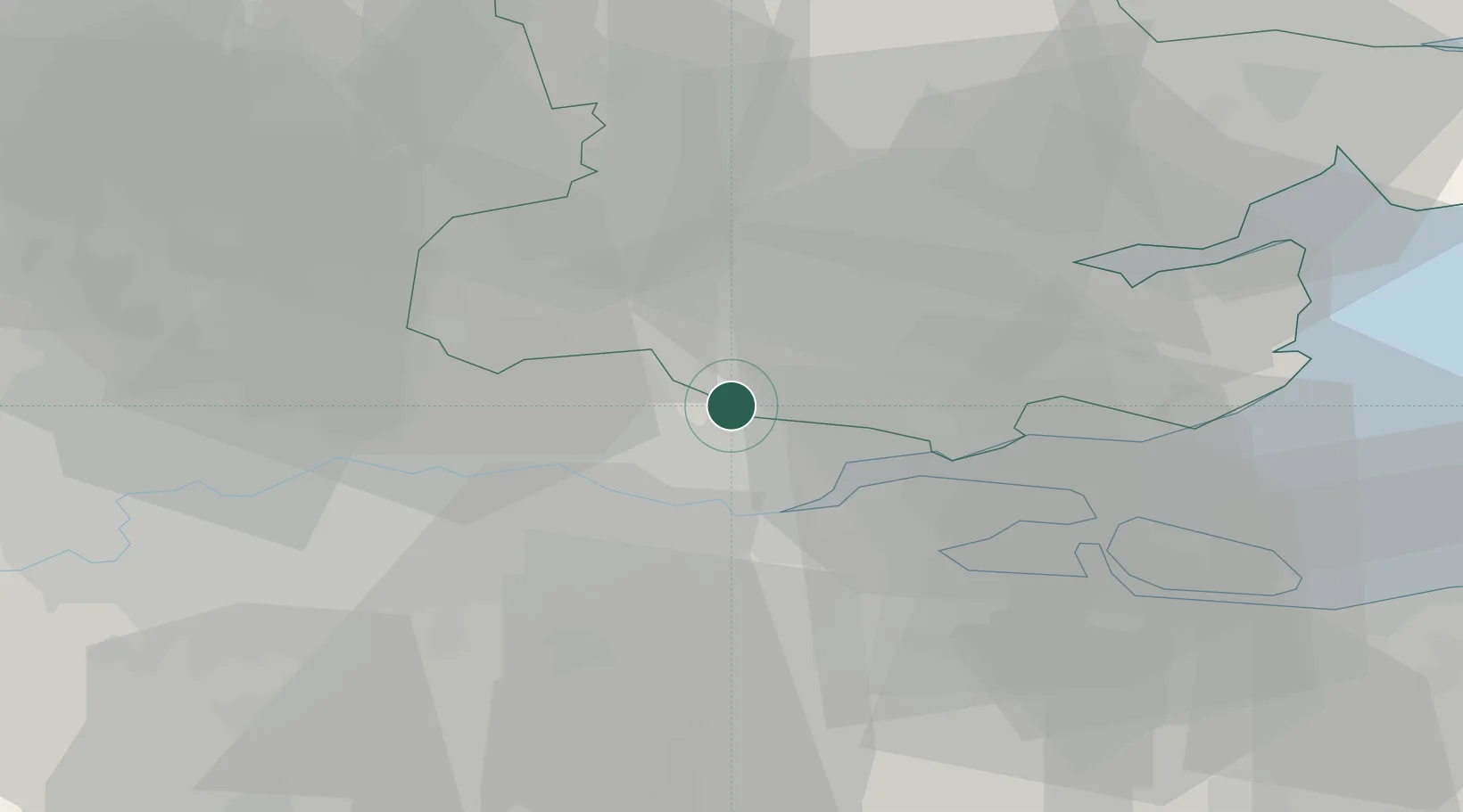
Location
Nearby Logistics Neighbours
Cities
- 1Upminster2 km
- 2Woodford Green6 km
- 3Harold Wood7 km
- 4Elm Park9 km
- 5Ramsden Heath10 km
Ports
- 1Tilbury11 km
- 2Gravesend13 km
- 3Chatham Docks24 km
- 4Isle Of Grain29 km
- 5Thamesport29 km
Airports
- 1London City Airport20 km
- 2London Southend Airport25 km
- 3London Biggin Hill Airport34 km
- 4London Stansted Airport36 km
- 5RAF Northolt52 km
Trade Zones
DatabookThe Record of Consolidated Knowledge
United Kingdom beyond logistics?