Transport Functions
Rail
Road
Hub Profile
Place type
Populated place
Region
England
Time zone
Europe/London
Elevation
65 m
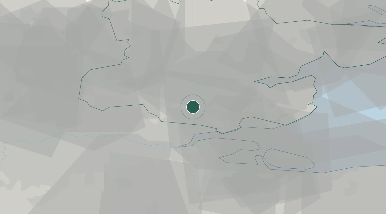
Location
Nearby Logistics Neighbours
Cities
- 1Rettendon8 km
- 2Woodford Green8 km
- 3Widford9 km
- 4Wanstead10 km
- 5East Ham10 km
Ports
- 1Tilbury19 km
- 2Gravesend19 km
- 3Chatham Docks25 km
- 4Isle Of Grain27 km
- 5Thamesport27 km
Airports
- 1London Southend Airport18 km
- 2London City Airport30 km
- 3London Stansted Airport33 km
- 4London Biggin Hill Airport43 km
- 5RAF Northolt60 km
Trade Zones
DatabookThe Record of Consolidated Knowledge
United Kingdom beyond logistics?