UN/LOCODE hub · United Kingdom
GBHLD
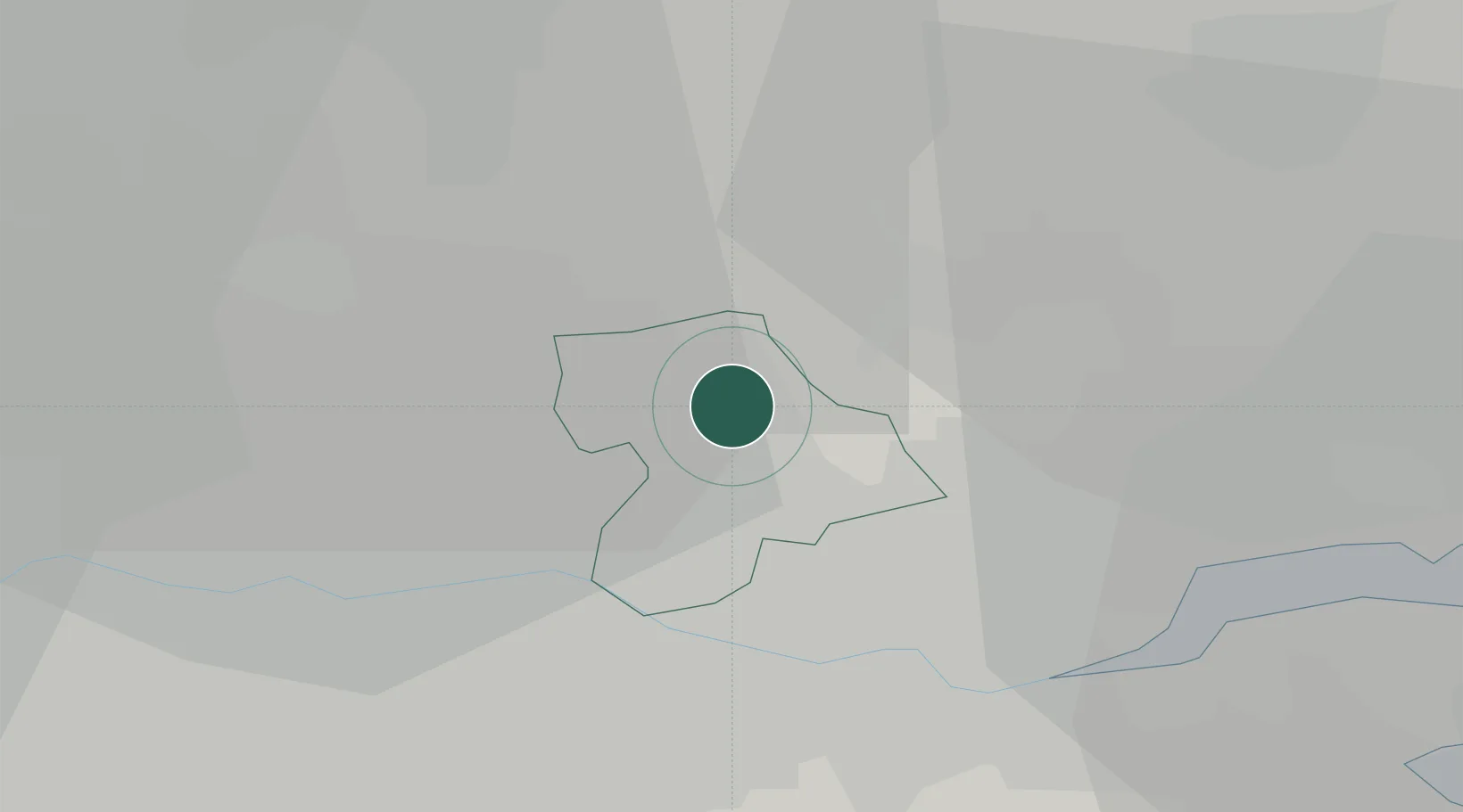
Harold Wood
51.5833°, 0.2333°
12,443
Population
2
Transport functions
Transport Functions
Rail
Road
Hub Profile
Place type
Urban district
Region
England
Population
12,443
Time zone
Europe/London
Elevation
34 m
Location
Nearby Logistics Neighbours
Cities
- 1Elm Park4 km
- 2Upminster6 km
- 3Wanstead7 km
- 4Stapleford Abbots7 km
- 5Woodford Green8 km
Ports
- 1Tilbury15 km
- 2Gravesend18 km
- 3London24 km
- 4Chatham Docks30 km
- 5Isle Of Grain36 km
Airports
- 1London City Airport15 km
- 2London Biggin Hill Airport31 km
- 3London Southend Airport32 km
- 4London Stansted Airport34 km
- 5RAF Northolt45 km
Trade Zones
DatabookThe Record of Consolidated Knowledge
United Kingdom beyond logistics?