UN/LOCODE hub · United Kingdom
GBEMP
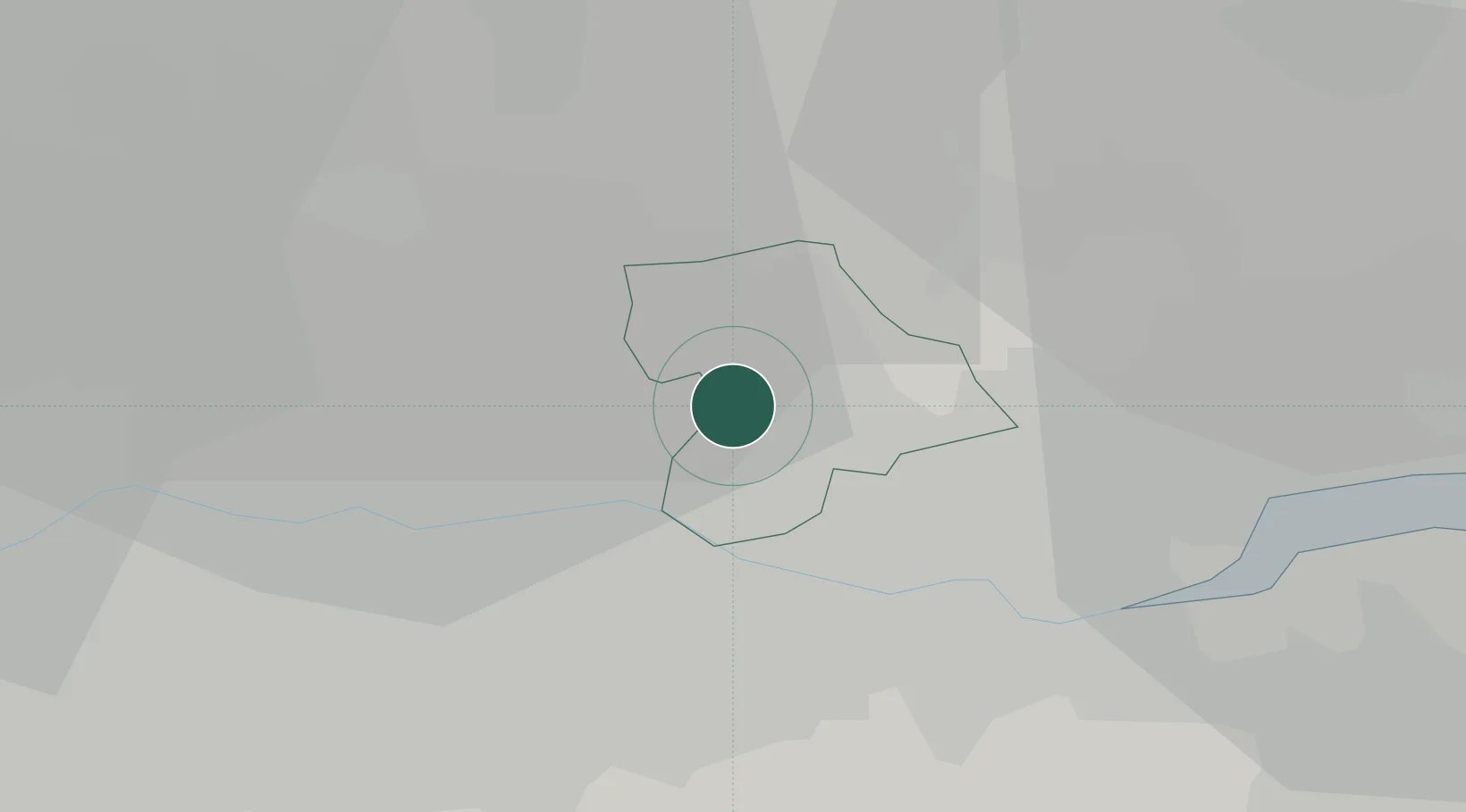
Elm Park
51.5500°, 0.2000°
12,048
Population
2
Transport functions
Transport Functions
Rail
Road
Hub Profile
Place type
Urban district
Region
England
Population
12,048
Time zone
Europe/London
Elevation
18 m
Location
Nearby Logistics Neighbours
Cities
- 1Harold Wood4 km
- 2Barking6 km
- 3Dagenham7 km
- 4Barking/London7 km
- 5Seven Kings7 km
Ports
- 1Tilbury13 km
- 2Gravesend16 km
- 3London20 km
- 4Chatham Docks29 km
- 5Isle Of Grain37 km
Airports
- 1London City Airport11 km
- 2London Biggin Hill Airport27 km
- 3London Southend Airport34 km
- 4London Stansted Airport37 km
- 5RAF Northolt43 km
Trade Zones
DatabookThe Record of Consolidated Knowledge
United Kingdom beyond logistics?