UN/LOCODE hub · United Kingdom
GBRNH
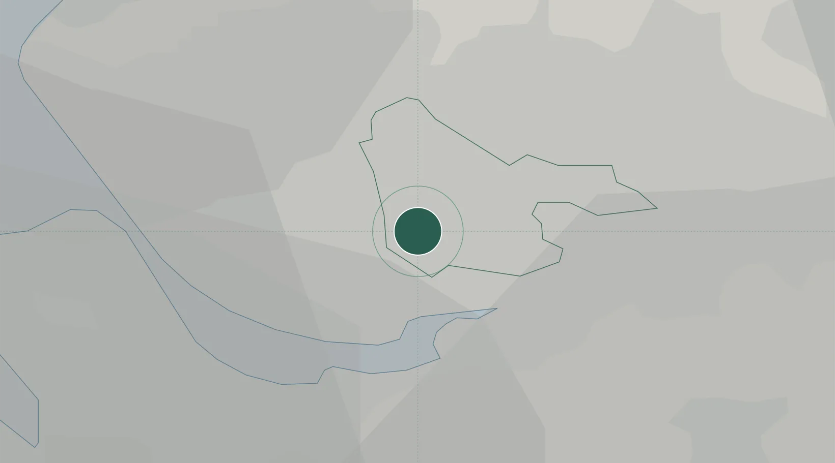
Rainhill
53.4167°, -2.7667°
10,853
Population
2
Transport functions
Transport Functions
Rail
Road
Hub Profile
Place type
District seat
Region
England
Population
10,853
Time zone
Europe/London
Elevation
66 m
Location
Nearby Logistics Neighbours
Cities
- 1Whiston2 km
- 2Saint Helens4 km
- 3Halewood7 km
- 4Widnes7 km
- 5Earlestown9 km
Ports
- 1Garlston12 km
- 2Liverpool16 km
- 3Manchester34 km
- 4Mostyn35 km
- 5Liverpool Bay Terminal53 km
Airports
- 1Liverpool John Lennon Airport11 km
- 2Hawarden Airport30 km
- 3Manchester Airport33 km
- 4Warton Aerodrome37 km
- 5Blackpool Airport43 km
Trade Zones
DatabookThe Record of Consolidated Knowledge
United Kingdom beyond logistics?