Transport Functions
Port
Hub Profile
Place type
Populated place
Region
England
Time zone
Europe/London
Elevation
48 m
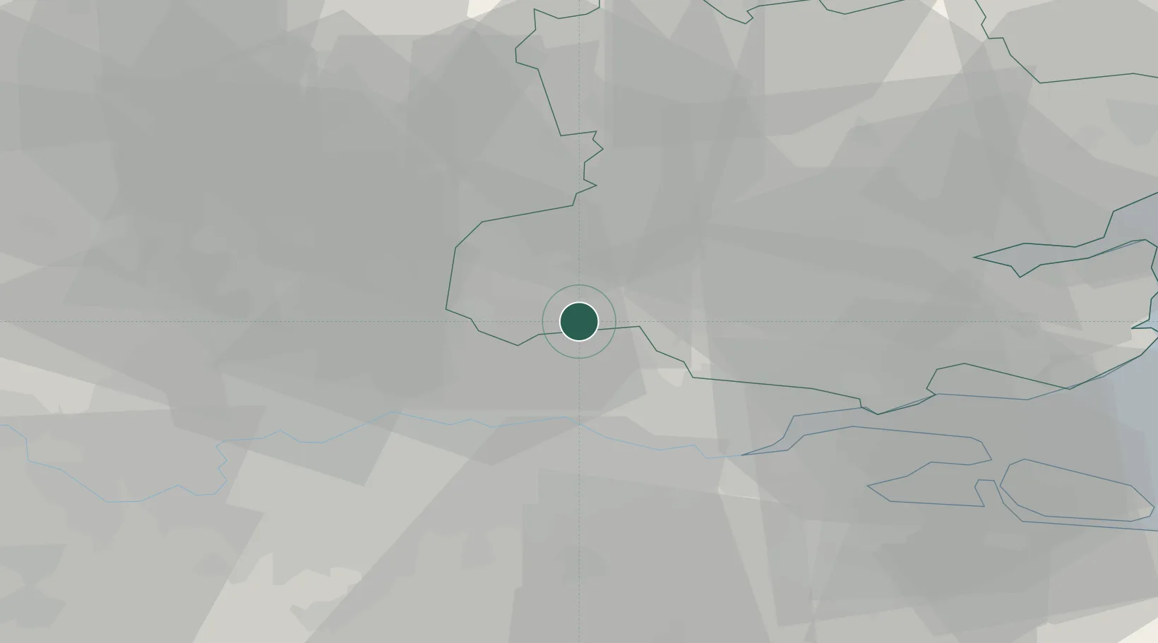
Location
Nearby Logistics Neighbours
Cities
- 1Hainault7 km
- 2Harold Wood7 km
- 3Seven Kings9 km
- 4Chipping Ongar9 km
- 5Elm Park10 km
Ports
- 1Tilbury22 km
- 2London23 km
- 3Gravesend25 km
- 4Chatham Docks37 km
- 5Isle Of Grain43 km
Airports
- 1London City Airport16 km
- 2London Stansted Airport28 km
- 3London Biggin Hill Airport35 km
- 4London Southend Airport37 km
- 5RAF Northolt41 km
Trade Zones
DatabookThe Record of Consolidated Knowledge
United Kingdom beyond logistics?