Transport Functions
Rail
Road
Hub Profile
Place type
Urban district
Region
England
Time zone
Europe/London
Elevation
17 m
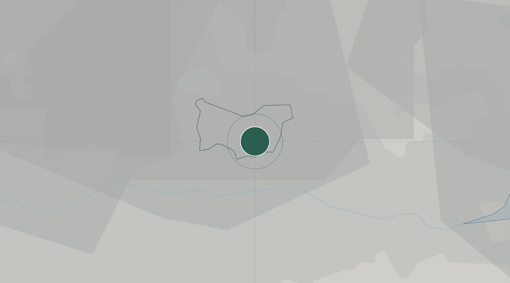
Location
Nearby Logistics Neighbours
Cities
- 1Hainault4 km
- 2Barking4 km
- 3Barking/London5 km
- 4Dagenham6 km
- 5Elm Park7 km
Ports
- 1London15 km
- 2Tilbury20 km
- 3Gravesend23 km
- 4Chatham Docks36 km
- 5Isle Of Grain44 km
Airports
- 1London City Airport8 km
- 2London Biggin Hill Airport27 km
- 3RAF Northolt36 km
- 4London Stansted Airport37 km
- 5London Heathrow Airport40 km
Trade Zones
DatabookThe Record of Consolidated Knowledge
United Kingdom beyond logistics?