Transport Functions
Multimodal
Hub Profile
Place type
Populated place
Region
England
Time zone
Europe/London
Elevation
110 m
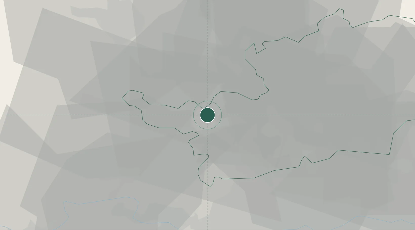
Location
Nearby Logistics Neighbours
Cities
- 1Pitstone9 km
- 2Cheddington13 km
- 3Little Chalfont14 km
- 4Luton15 km
- 5Saint Albans16 km
Ports
- 1London43 km
- 2Tilbury67 km
- 3Gravesend70 km
- 4Chatham Docks84 km
- 5Isle Of Grain92 km
Airports
- 1London Luton Airport14 km
- 2RAF Northolt26 km
- 3Cranfield Airport33 km
- 4London Heathrow Airport35 km
- 5RAF Benson45 km
Trade Zones
DatabookThe Record of Consolidated Knowledge
United Kingdom beyond logistics?