Transport Functions
Rail
Road
Airport
Hub Profile
Place type
Provincial seat
Region
England
Population
225,262
Time zone
Europe/London
Elevation
117 m
Logistics facilities
1
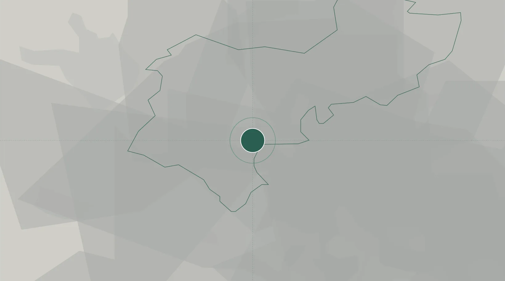
Location
Nearby Logistics Neighbours
Cities
- 1Meppershall13 km
- 2Pitstone15 km
- 3Marston Moretaine15 km
- 4Great Gaddesden15 km
- 5Cheddington16 km
Ports
- 1London54 km
- 2Tilbury75 km
- 3Gravesend78 km
- 4Chatham Docks92 km
- 5Wisbech93 km
Airports
- 1London Luton Airport9 km
- 2Cranfield Airport19 km
- 3RAF Northolt41 km
- 4London Stansted Airport49 km
- 5London Heathrow Airport50 km
Trade Zones
DatabookThe Record of Consolidated Knowledge
United Kingdom beyond logistics?