UN/LOCODE hub · United Kingdom
GBMHJ
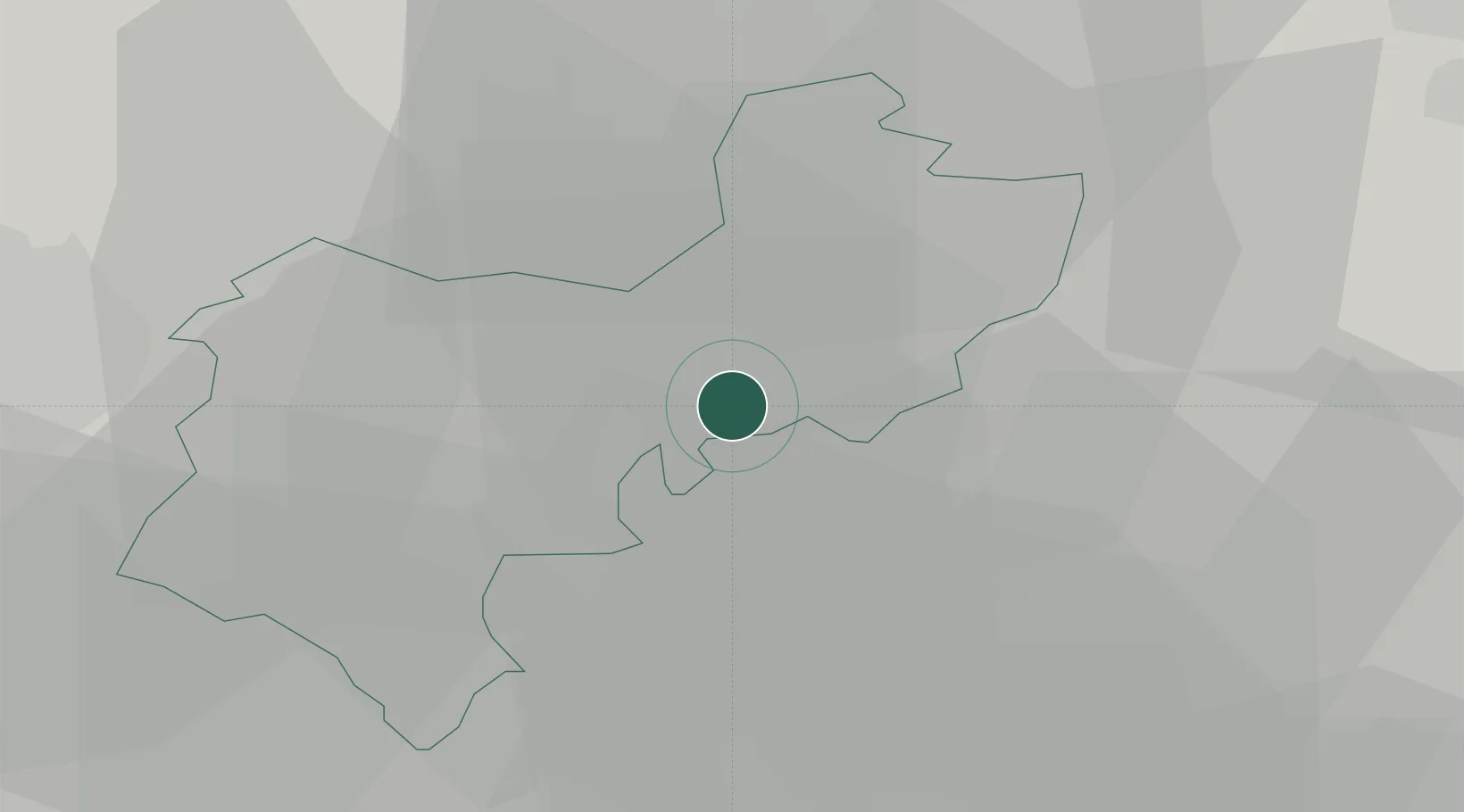
Meppershall
52.0000°, -0.3333°
1,745
Population
2
Transport functions
Transport Functions
Port
Multimodal
Hub Profile
Place type
District seat
Region
England
Population
1,745
Time zone
Europe/London
Elevation
71 m
Location
Nearby Logistics Neighbours
Cities
- 1Wilstead10 km
- 2Graveley12 km
- 3Cardington12 km
- 4Luton13 km
- 5Willington15 km
Ports
- 1London58 km
- 2Tilbury75 km
- 3Gravesend78 km
- 4Wisbech81 km
- 5Colchester87 km
Airports
- 1London Luton Airport14 km
- 2Cranfield Airport21 km
- 3London Stansted Airport41 km
- 4Cambridge City Airport42 km
- 5RAF Northolt50 km
Trade Zones
DatabookThe Record of Consolidated Knowledge
United Kingdom beyond logistics?