UN/LOCODE hub · United Kingdom
GBGV2

Graveley

51.9333°, -0.2000°
2
Transport functions

Transport Functions

Road
Multimodal
UN/LOCODE

Hub Profile

Place type
Populated place
GeoNames
Region
England
GeoNames
Time zone
Europe/London
GeoNames
Elevation
99 m
GeoNames

Location

Location of GBGV2
Natural Earth 10m (public domain) · England · GBGV2 · 51.93, -0.20GoogleOSMYandex

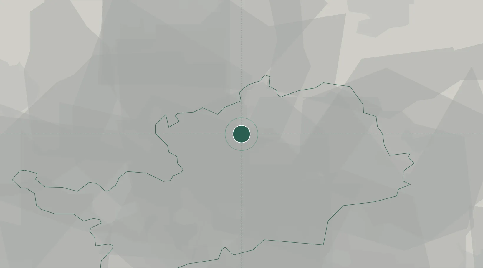
Nearby Logistics Neighbours

Cities
  1. 1Meppershall12 km
  2. 2Buntingford13 km
  3. 3Convoys Wharf19 km
  4. 4Luton19 km
  5. 5Essendon21 km
Nearest neighbours — logibook spatial index (haversine) over the source coordinates
Ports
  1. 1London49 km
  2. 2Tilbury64 km
  3. 3Gravesend66 km
  4. 4Colchester77 km
  5. 5Chatham Docks79 km
Nearest neighbours — logibook spatial index (haversine) over the source coordinates
Airports
  1. 1London Luton Airport13 km
  2. 2London Stansted Airport30 km
  3. 3Cranfield Airport32 km
  4. 4Cambridge City Airport40 km
  5. 5RAF Northolt45 km
Nearest neighbours — logibook spatial index (haversine) over the source coordinates
Trade Zones
  1. 1Enviro-Tech Hertfordshire Enterprise Zone27 km
  2. 2Harlow Enterprise Zone27 km
  3. 3Aylesbury Vale45 km
  4. 4Cambridge Compass Enterprise Zone47 km
  5. 5Alconbury Weald Enterprise Zone49 km
Nearest neighbours — logibook spatial index (haversine) over the source coordinates
DatabookThe Record of Consolidated Knowledge
United Kingdom beyond logistics?
Browse databook

All Sources

LocationsUN/LOCODE
UN/LOCODE — free
Portsthe NGA World Port Index
Public domain (US gov)
AirportsOurAirports
Public domain
Trade Zonesthe World Bank SEZ database
CC BY 4.0
Trade ZonesOpen Zone Map
CC BY
← United Kingdom locations