Transport Functions
Rail
Road
Hub Profile
Place type
District seat
Region
England
Time zone
Europe/London
Elevation
8 m
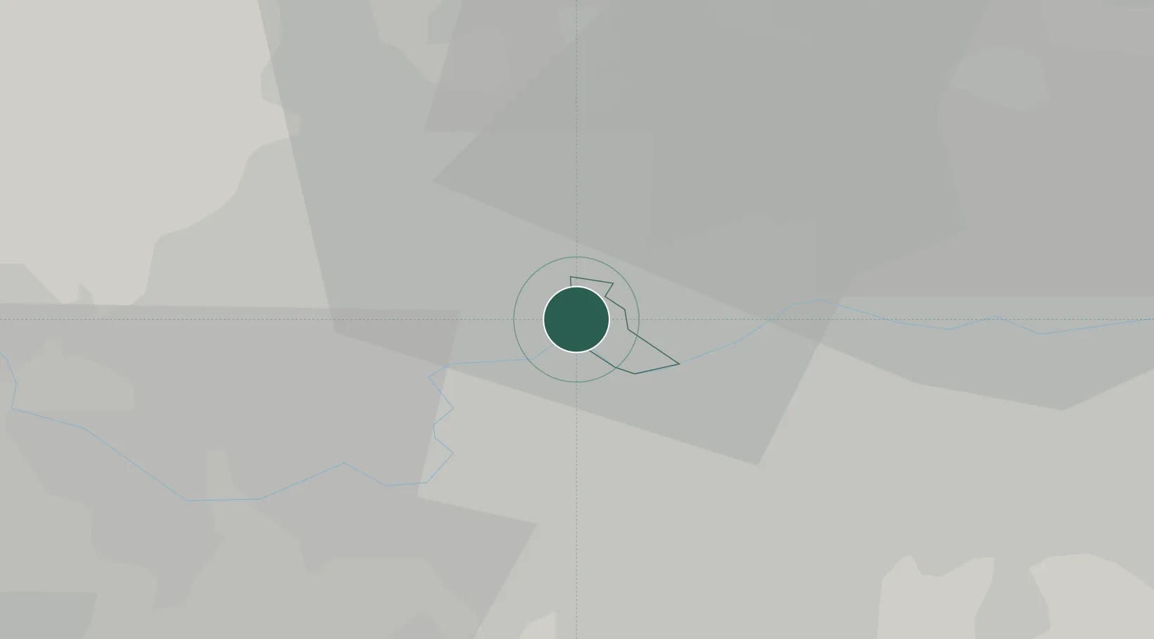
Location
Nearby Logistics Neighbours
Cities
- 1Paddington4 km
- 2Willesden4 km
- 3Alperton5 km
- 4Kew5 km
- 5Putney6 km
Ports
- 1London10 km
- 2Tilbury39 km
- 3Gravesend42 km
- 4Chatham Docks55 km
- 5Isle Of Grain65 km
Airports
- 1RAF Northolt14 km
- 2London Heathrow Airport16 km
- 3London City Airport20 km
- 4London Biggin Hill Airport26 km
- 5London Gatwick Airport39 km
DatabookThe Record of Consolidated Knowledge
United Kingdom beyond logistics?