Transport Functions
Rail
Road
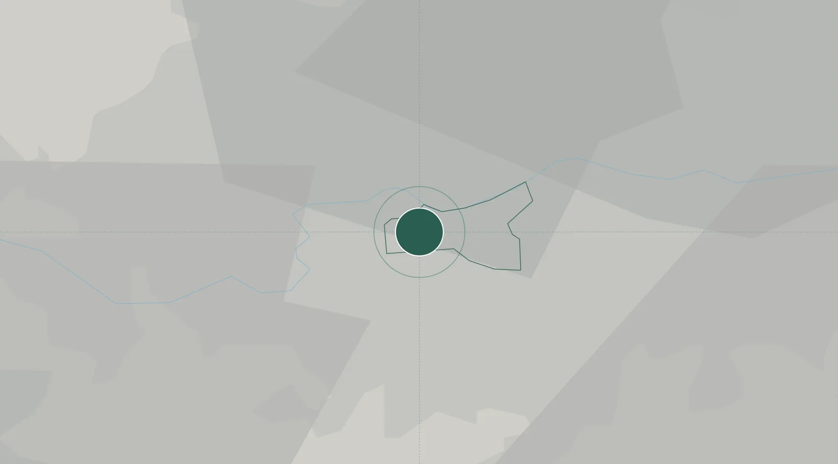
Hub Profile
Place type
Urban district
Region
England
Population
77,140
Time zone
Europe/London
Elevation
17 m
Location
Nearby Logistics Neighbours
Cities
- 1Wimbledon2 km
- 2New Malden4 km
- 3Kew5 km
- 4Nutfield6 km
- 5Hammersmith6 km
Ports
- 1London11 km
- 2Tilbury38 km
- 3Gravesend40 km
- 4Chatham Docks53 km
- 5Isle Of Grain64 km
Airports
- 1London Heathrow Airport17 km
- 2RAF Northolt18 km
- 3London City Airport20 km
- 4London Biggin Hill Airport22 km
- 5London Gatwick Airport34 km
DatabookThe Record of Consolidated Knowledge
United Kingdom beyond logistics?