UN/LOCODE hub · United Kingdom
GBESD
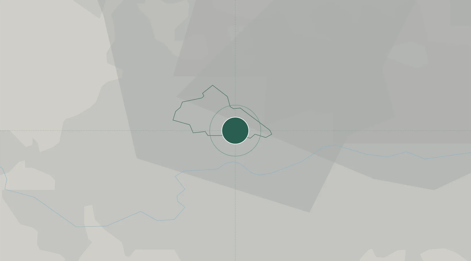
Willesden
51.5333°, -0.2333°
44,295
Population
3
Transport functions
Transport Functions
Port
Rail
Road
Hub Profile
Place type
Populated place
Region
England
Population
44,295
Time zone
Europe/London
Elevation
49 m
Location
Nearby Logistics Neighbours
Cities
- 1Alperton4 km
- 2Hammersmith4 km
- 3Cricklewood/London4 km
- 4Wembley4 km
- 5Paddington5 km
Ports
- 1London11 km
- 2Tilbury40 km
- 3Gravesend43 km
- 4Chatham Docks56 km
- 5Isle Of Grain66 km
Airports
- 1RAF Northolt13 km
- 2London Heathrow Airport17 km
- 3London City Airport20 km
- 4London Biggin Hill Airport29 km
- 5London Luton Airport39 km
DatabookThe Record of Consolidated Knowledge
United Kingdom beyond logistics?