Transport Functions
Rail
Road
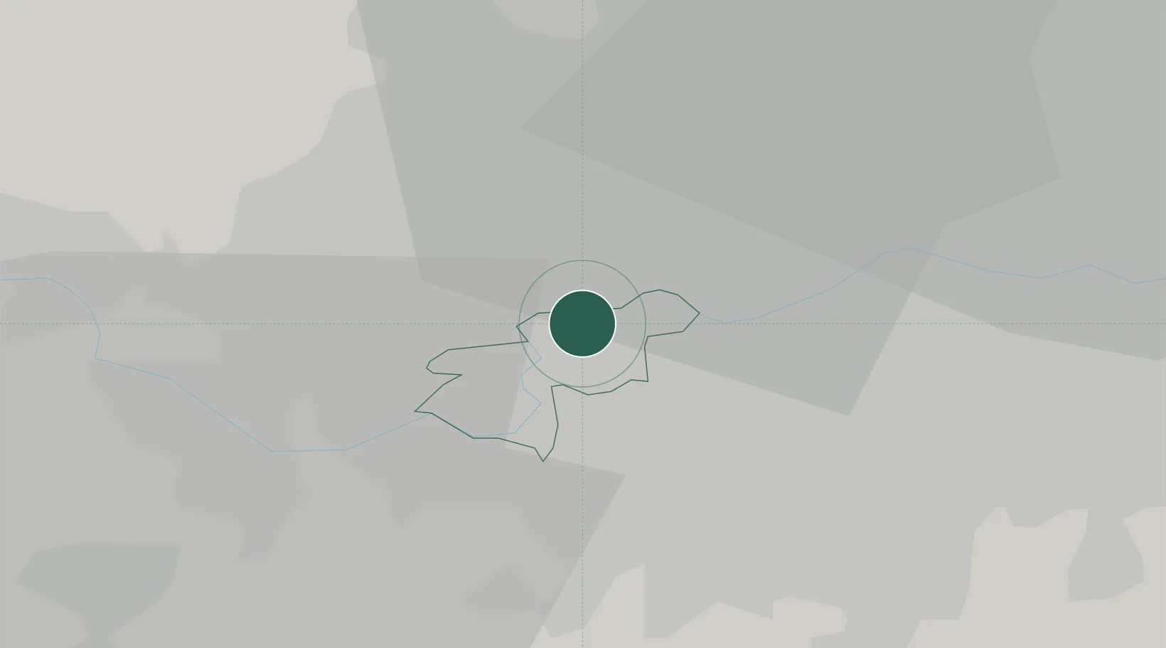
Hub Profile
Place type
Populated place
Region
England
Population
11,436
Time zone
Europe/London
Elevation
8 m
Location
Nearby Logistics Neighbours
Cities
- 1Putney5 km
- 2Hammersmith5 km
- 3Wimbledon6 km
- 4New Malden6 km
- 5Alperton7 km
Ports
- 1London14 km
- 2Tilbury43 km
- 3Gravesend45 km
- 4Chatham Docks58 km
- 5Isle Of Grain68 km
Airports
- 1London Heathrow Airport12 km
- 2RAF Northolt13 km
- 3London City Airport24 km
- 4London Biggin Hill Airport27 km
- 5London Gatwick Airport36 km
DatabookThe Record of Consolidated Knowledge
United Kingdom beyond logistics?