Transport Functions
Road
Multimodal
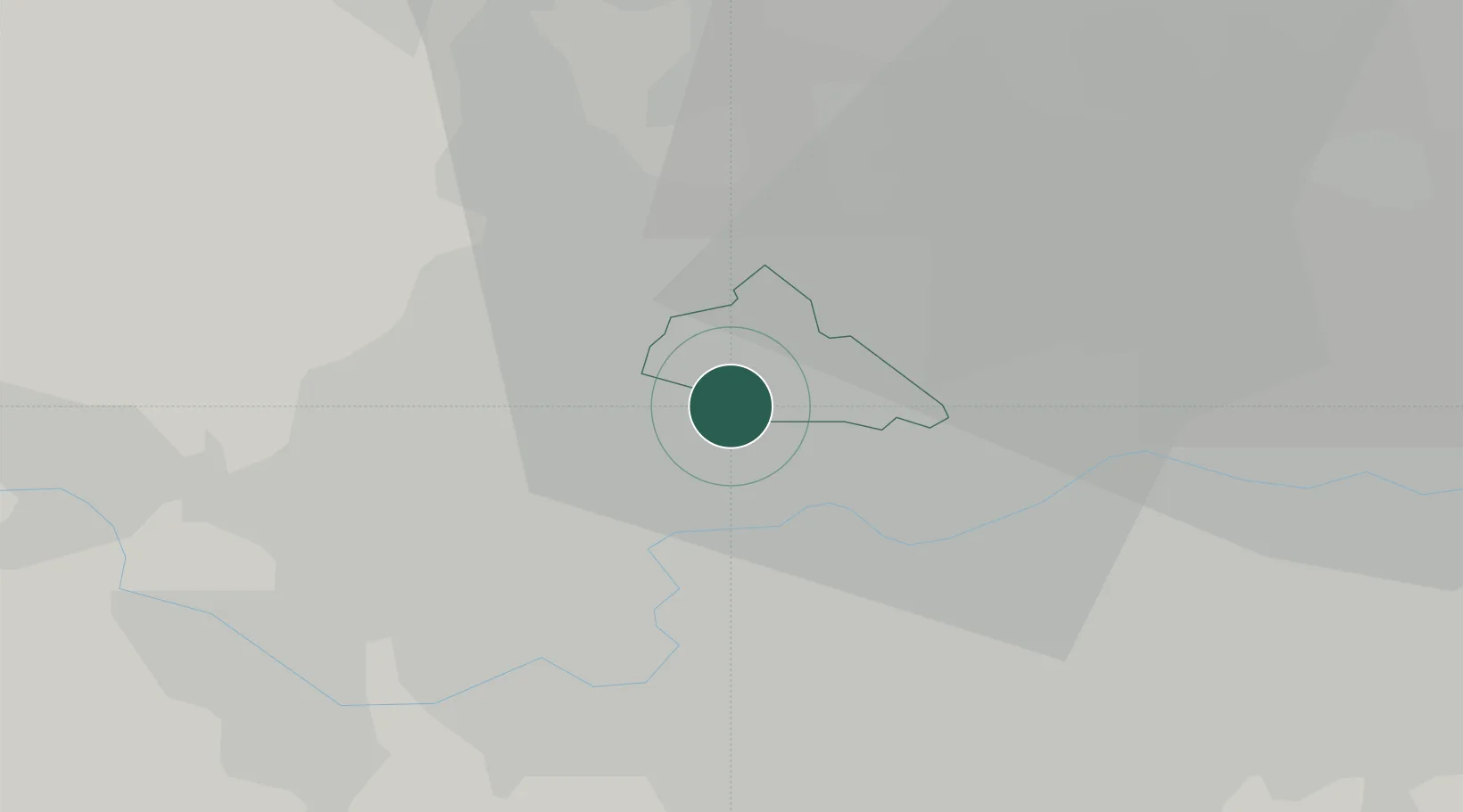
Hub Profile
Place type
Urban district
Region
England
Time zone
Europe/London
Elevation
37 m
Location
Nearby Logistics Neighbours
Cities
- 1Wembley2 km
- 2Willesden4 km
- 3Harrow on the Hill5 km
- 4Hammersmith5 km
- 5Cricklewood/London6 km
Ports
- 1London14 km
- 2Tilbury43 km
- 3Gravesend46 km
- 4Chatham Docks60 km
- 5Isle Of Grain69 km
Airports
- 1RAF Northolt10 km
- 2London Heathrow Airport14 km
- 3London City Airport24 km
- 4London Biggin Hill Airport31 km
- 5London Luton Airport38 km
DatabookThe Record of Consolidated Knowledge
United Kingdom beyond logistics?