Transport Functions
Port
Road
Hub Profile
Place type
Populated place
Region
England
Time zone
Europe/London
Elevation
38 m
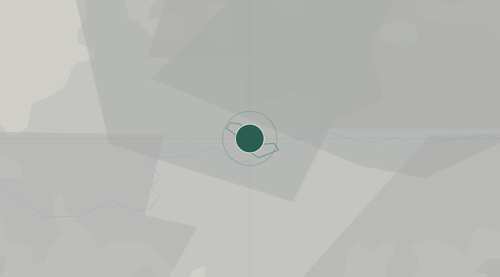
Location
Nearby Logistics Neighbours
Cities
- 1Hammersmith4 km
- 2Kentish Town West5 km
- 3Willesden5 km
- 4Putney6 km
- 5Kennington/London6 km
Ports
- 1London7 km
- 2Tilbury36 km
- 3Gravesend39 km
- 4Chatham Docks52 km
- 5Isle Of Grain62 km
Airports
- 1London City Airport17 km
- 2RAF Northolt17 km
- 3London Heathrow Airport19 km
- 4London Biggin Hill Airport24 km
- 5London Gatwick Airport39 km
DatabookThe Record of Consolidated Knowledge
United Kingdom beyond logistics?