Transport Functions
Port
Hub Profile
Place type
Populated place
Region
England
Time zone
Europe/London
Elevation
11 m
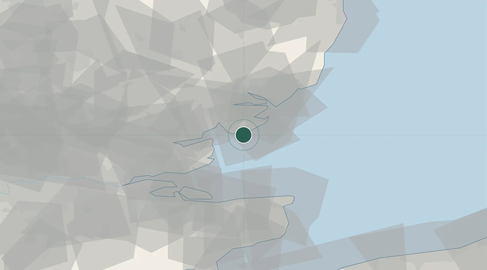
Location
Nearby Logistics Neighbours
Cities
- 1Clacton-on-Sea4 km
- 2East Mersea8 km
- 3Frinton-on-Sea10 km
- 4Great Bentley11 km
- 5Walton-on-the-Naze14 km
Ports
- 1Colchester20 km
- 2Harwich23 km
- 3Felixstowe24 km
- 4Ipswich32 km
- 5Sheerness44 km
Airports
- 1London Southend Airport37 km
- 2Wattisham Airfield42 km
- 3London Stansted Airport63 km
- 4RAF Honington69 km
- 5RAF Mildenhall80 km
Trade Zones
DatabookThe Record of Consolidated Knowledge
United Kingdom beyond logistics?