Transport Functions
Rail
Road
Hub Profile
Place type
Urban district
Region
England
Time zone
Europe/London
Elevation
24 m
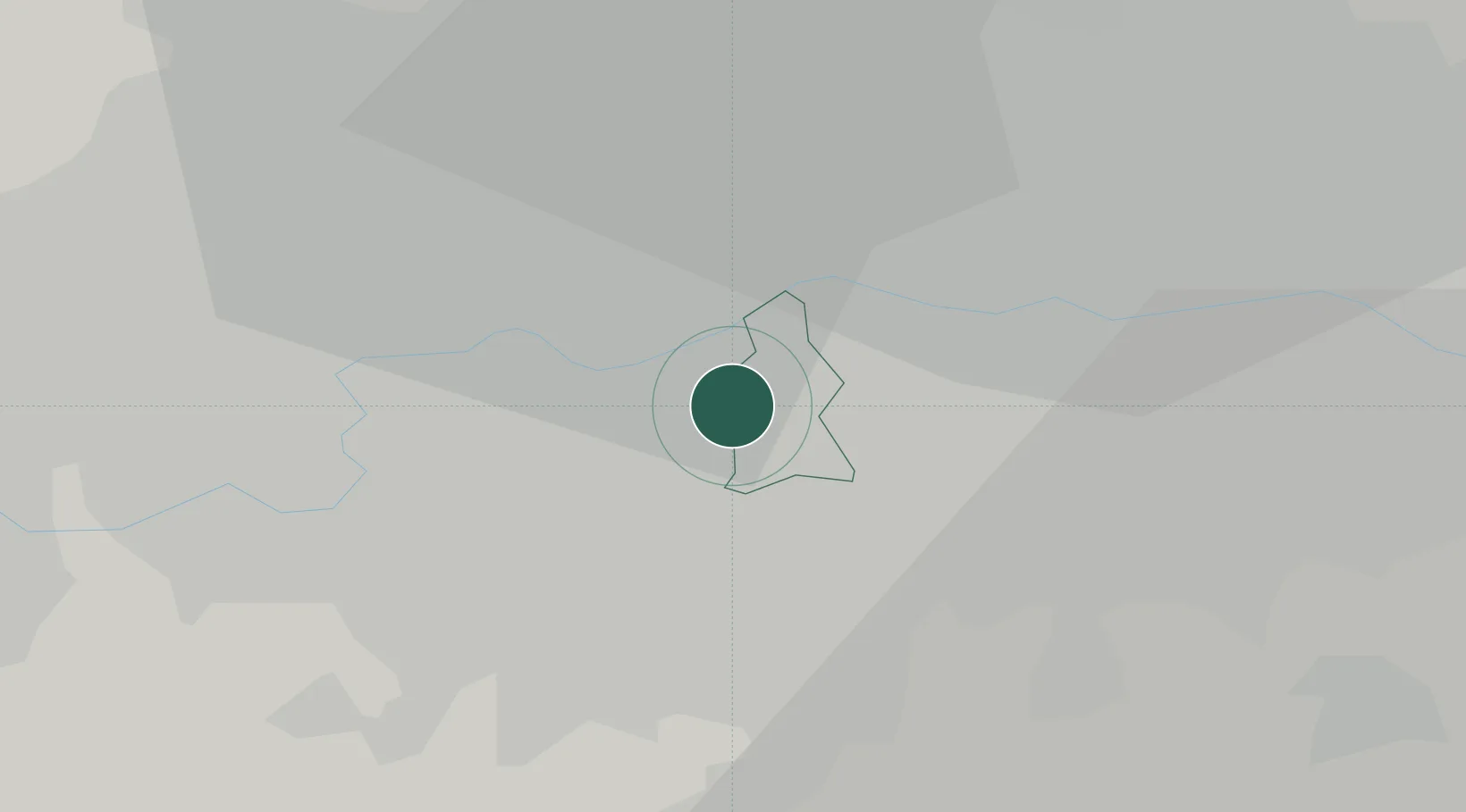
Location
Nearby Logistics Neighbours
Cities
- 1Kennington/London4 km
- 2Putney6 km
- 3Thornton Heath6 km
- 4Wimbledon6 km
- 5Paddington7 km
Ports
- 1London7 km
- 2Tilbury32 km
- 3Gravesend35 km
- 4Chatham Docks48 km
- 5Isle Of Grain58 km
Airports
- 1London City Airport14 km
- 2London Biggin Hill Airport18 km
- 3London Heathrow Airport23 km
- 4RAF Northolt23 km
- 5London Gatwick Airport34 km
DatabookThe Record of Consolidated Knowledge
United Kingdom beyond logistics?