Transport Functions
Rail
Road
Hub Profile
Region
LND
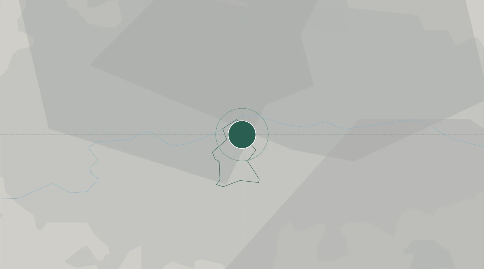
Location
Nearby Logistics Neighbours
Cities
- 1Southwark2 km
- 2Bermondsey/London3 km
- 3Peckham4 km
- 4Aldersgate4 km
- 5Clapham4 km
Ports
- 1London2 km
- 2Tilbury30 km
- 3Gravesend33 km
- 4Chatham Docks46 km
- 5Isle Of Grain56 km
Airports
- 1London City Airport11 km
- 2London Biggin Hill Airport19 km
- 3RAF Northolt23 km
- 4London Heathrow Airport25 km
- 5London Gatwick Airport38 km
DatabookThe Record of Consolidated Knowledge
United Kingdom beyond logistics?