UN/LOCODE hub · United Kingdom
GBTHH
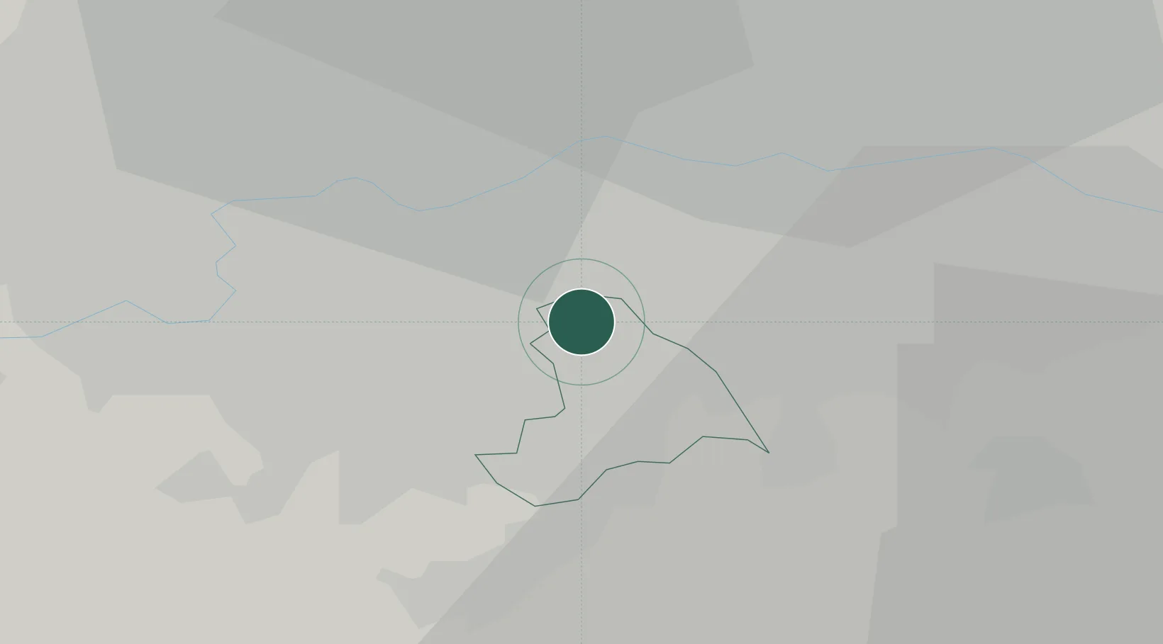
Thornton Heath
51.4000°, -0.1000°
14,669
Population
2
Transport functions
Transport Functions
Rail
Road
Hub Profile
Place type
Populated place
Region
England
Population
14,669
Time zone
Europe/London
Elevation
53 m
Location
Nearby Logistics Neighbours
Cities
- 1Clapham6 km
- 2Carshalton7 km
- 3Lewisham8 km
- 4Nutfield8 km
- 5Wimbledon9 km
Ports
- 1London11 km
- 2Tilbury31 km
- 3Gravesend33 km
- 4Chatham Docks45 km
- 5Isle Of Grain56 km
Airports
- 1London Biggin Hill Airport12 km
- 2London City Airport16 km
- 3London Heathrow Airport26 km
- 4RAF Northolt28 km
- 5London Gatwick Airport29 km
DatabookThe Record of Consolidated Knowledge
United Kingdom beyond logistics?