UN/LOCODE hub · United Kingdom
GBWBD
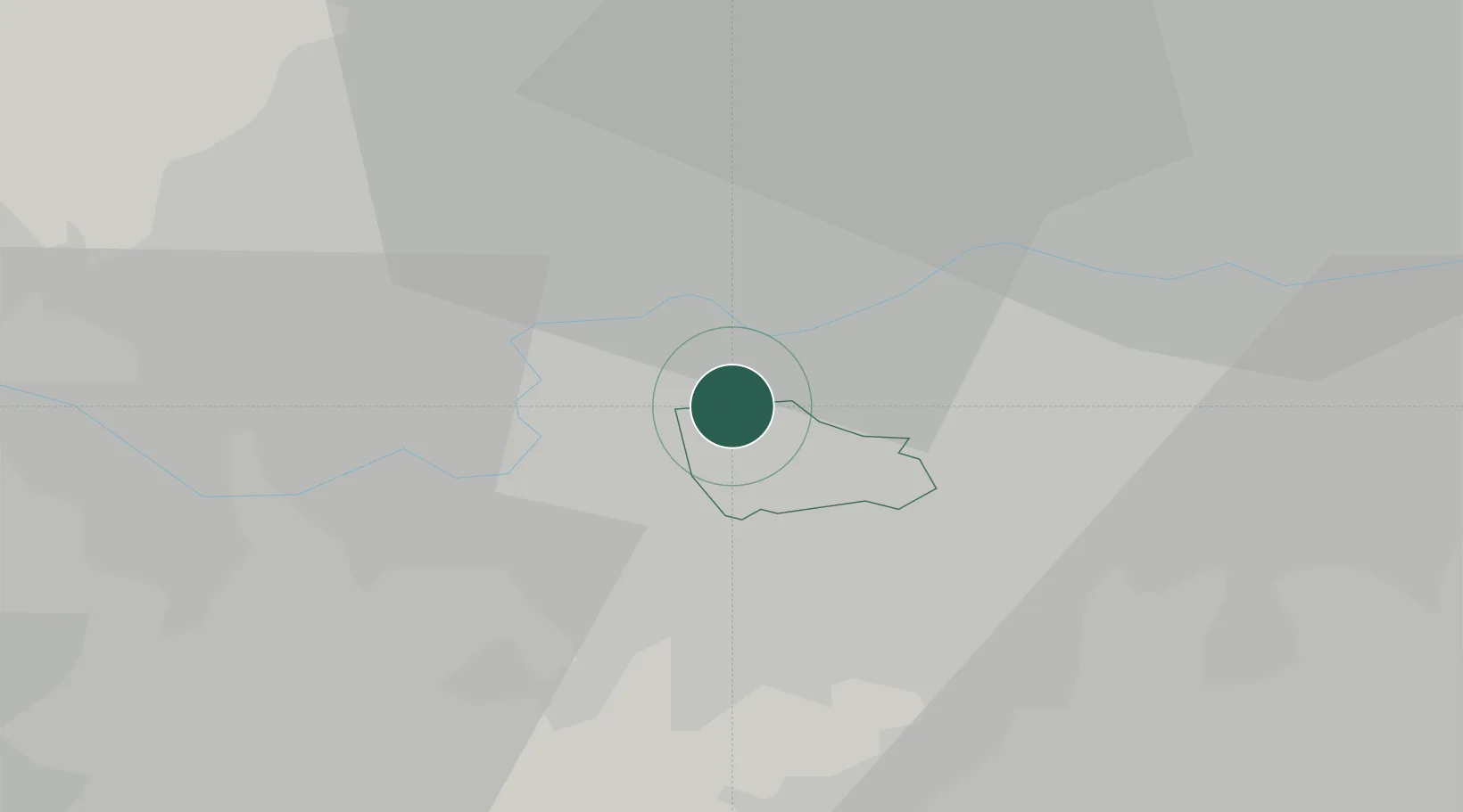
Wimbledon
51.4333°, -0.2167°
68,187
Population
2
Transport functions
Transport Functions
Rail
Road
Hub Profile
Place type
Urban district
Region
England
Population
68,187
Time zone
Europe/London
Elevation
29 m
Location
Nearby Logistics Neighbours
Cities
- 1Putney2 km
- 2New Malden3 km
- 3Nutfield4 km
- 4New Maldon4 km
- 5Kew6 km
Ports
- 1London12 km
- 2Tilbury38 km
- 3Gravesend41 km
- 4Chatham Docks53 km
- 5Isle Of Grain64 km
Airports
- 1London Heathrow Airport17 km
- 2RAF Northolt19 km
- 3London City Airport21 km
- 4London Biggin Hill Airport21 km
- 5London Gatwick Airport32 km
DatabookThe Record of Consolidated Knowledge
United Kingdom beyond logistics?