Transport Functions
Port
Hub Profile
Place type
Populated place
Region
Wales
Population
1,606
Time zone
Europe/London
Elevation
62 m
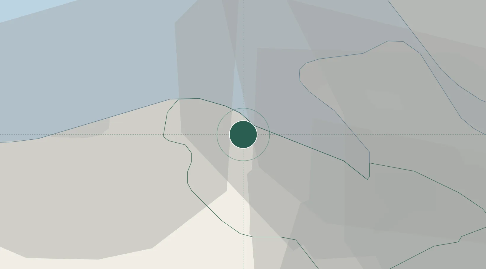
Location
Nearby Logistics Neighbours
Cities
- 1Greenfield5 km
- 2Connah's Quay16 km
- 3Connahs Quay16 km
- 4Bidston17 km
- 5Prenton/Birkenhead17 km
Ports
- 1Liverpool22 km
- 2Garlston25 km
- 3Liverpool Bay Terminal32 km
- 4Caernarvon69 km
- 5Manchester69 km
Airports
- 1Hawarden Airport24 km
- 2Liverpool John Lennon Airport28 km
- 3Blackpool Airport55 km
- 4Warton Aerodrome56 km
- 5Manchester Airport66 km
Trade Zones
DatabookThe Record of Consolidated Knowledge
United Kingdom beyond logistics?