UN/LOCODE hub · United Kingdom
GBPLM
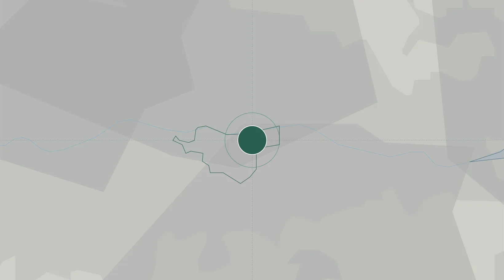
Plumstead
51.4833°, 0.0833°
16,736
Population
1
Transport functions
Transport Functions
Rail
Hub Profile
Place type
Populated place
Region
England
Population
16,736
Time zone
Europe/London
Elevation
51 m
Location
Nearby Logistics Neighbours
Cities
- 1Silvertown4 km
- 2Dagenham5 km
- 3Barking/London5 km
- 4Barking6 km
- 5Canning Town7 km
Ports
- 1London12 km
- 2Tilbury17 km
- 3Gravesend20 km
- 4Chatham Docks34 km
- 5Isle Of Grain43 km
Airports
- 1London City Airport3 km
- 2London Biggin Hill Airport17 km
- 3RAF Northolt36 km
- 4London Heathrow Airport38 km
- 5London Gatwick Airport42 km
Trade Zones
DatabookThe Record of Consolidated Knowledge
United Kingdom beyond logistics?