UN/LOCODE hub · United Kingdom
GBDFD
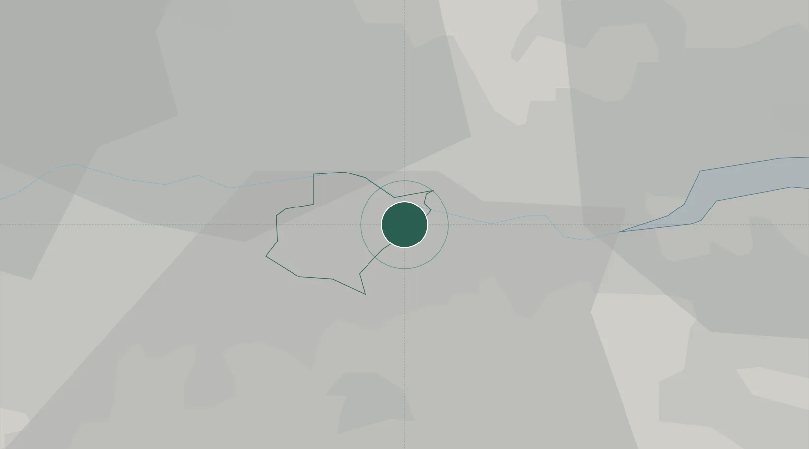
Dartford
51.4593°, 0.2000°
56,694
Population
3
Transport functions
Transport Functions
Port
Rail
Road
Hub Profile
Place type
Populated place
Region
England
Population
56,694
Time zone
Europe/London
Elevation
8 m
Logistics facilities
1
Location
Nearby Logistics Neighbours
Ports
- 1Tilbury9 km
- 2Gravesend12 km
- 3London20 km
- 4Chatham Docks25 km
- 5Isle Of Grain35 km
Airports
- 1London City Airport11 km
- 2London Biggin Hill Airport18 km
- 3London Southend Airport36 km
- 4London Gatwick Airport44 km
- 5RAF Northolt44 km
Trade Zones
DatabookThe Record of Consolidated Knowledge
United Kingdom beyond logistics?