Transport Functions
Port
Rail
Road
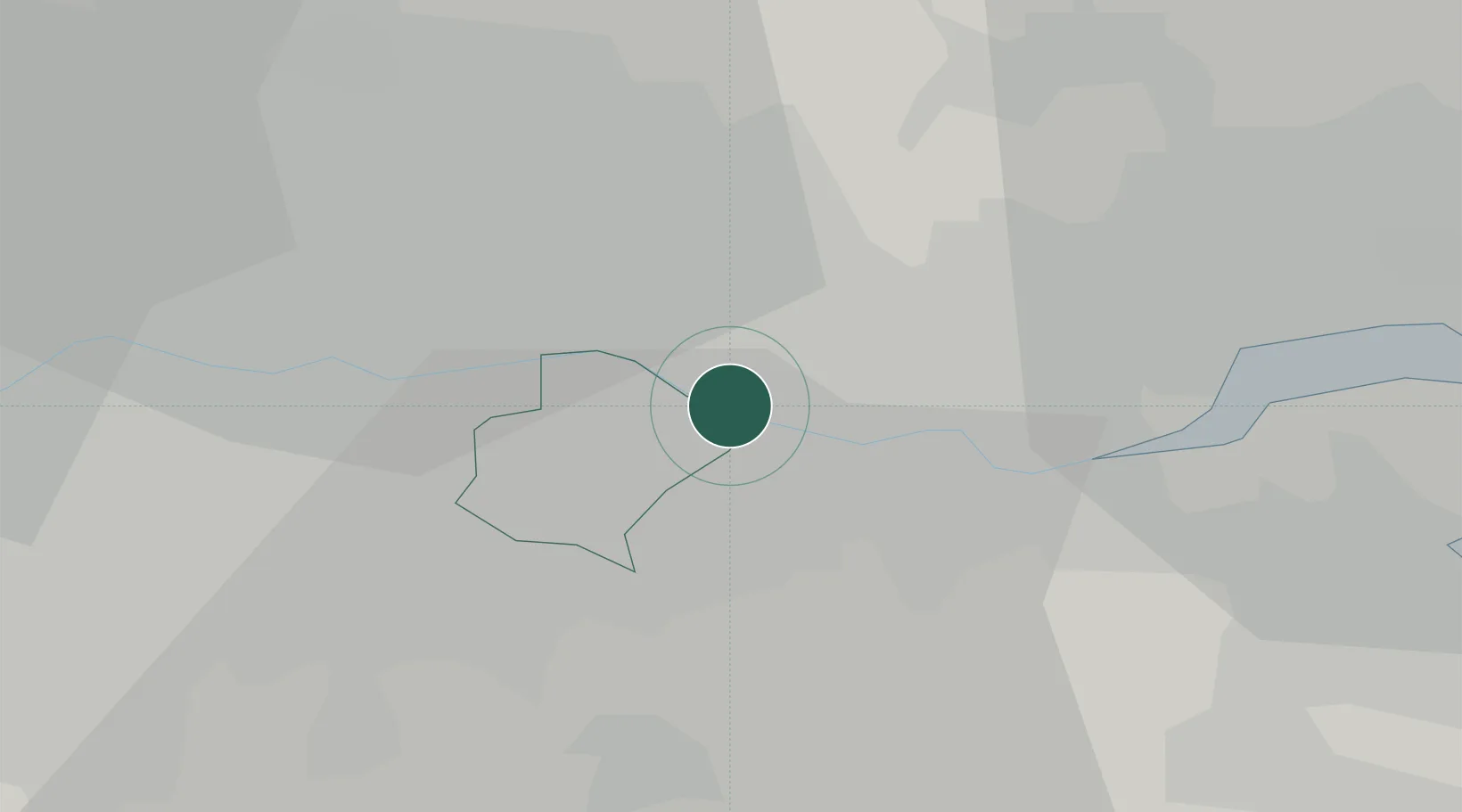
Hub Profile
Place type
Populated place
Region
England
Population
9,811
Time zone
Europe/London
Elevation
8 m
Logistics facilities
1
Location
Nearby Logistics Neighbours
Ports
- 1Tilbury9 km
- 2Gravesend11 km
- 3London21 km
- 4Chatham Docks25 km
- 5Isle Of Grain34 km
Airports
- 1London City Airport11 km
- 2London Biggin Hill Airport21 km
- 3London Southend Airport35 km
- 4RAF Northolt44 km
- 5London Stansted Airport45 km
Trade Zones
DatabookThe Record of Consolidated Knowledge
United Kingdom beyond logistics?