Transport Functions
Multimodal
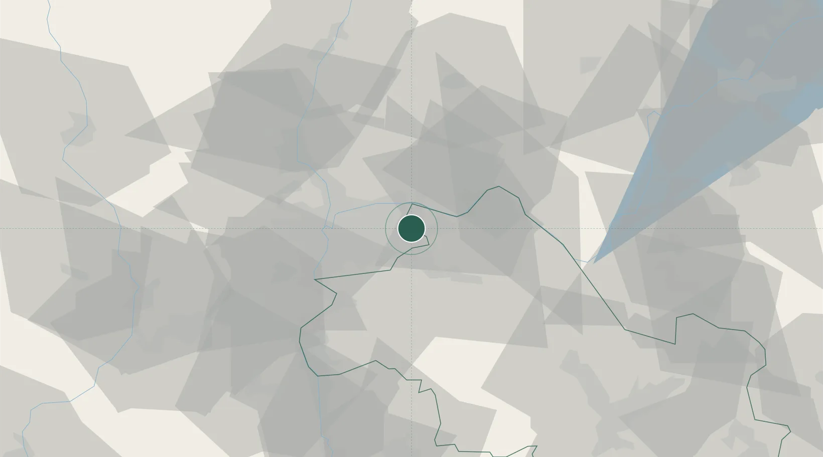
Hub Profile
Place type
Populated place
Region
Rhône-Alpes
Population
1,254
Time zone
Europe/Paris
Elevation
236 m
Location
Nearby Logistics Neighbours
Cities
- 1Colombier-Saugnieu4 km
- 2Saint-Exupéry Apt/Lyon5 km
- 3Villette-d'Anthon6 km
- 4Vénissieux6 km
- 5Balan9 km
Ports
- 1Fos260 km
- 2Port-de-Bouc262 km
- 3Port Saint Louis Du Rhone264 km
- 4Marseille271 km
- 5Sete284 km
Airports
Trade Zones
- 1ZFU Vaulx-en-Velin14 km
- 2ZFU Vénissieux20 km
- 3ZFU Rillieux-la-Pape21 km
- 4ZFU Lyon 9e23 km
- 5ZFU Saint-Etienne72 km
DatabookThe Record of Consolidated Knowledge
France beyond logistics?