Transport Functions
Multimodal
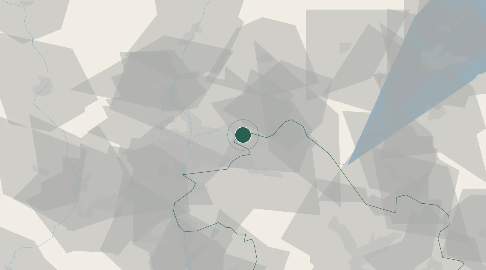
Hub Profile
Place type
Populated place
Region
Rhône-Alpes
Time zone
Europe/Paris
Elevation
221 m
Location
Nearby Logistics Neighbours
Cities
- 1Balan4 km
- 2La Valbonne6 km
- 3Janneyrias6 km
- 4Bressolles8 km
- 5Vénissieux8 km
Ports
- 1Fos266 km
- 2Port-de-Bouc267 km
- 3Port Saint Louis Du Rhone270 km
- 4Marseille277 km
- 5Nice290 km
Airports
Trade Zones
- 1ZFU Vaulx-en-Velin15 km
- 2ZFU Rillieux-la-Pape20 km
- 3ZFU Vénissieux24 km
- 4ZFU Lyon 9e24 km
- 5ZFU Saint-Etienne76 km
DatabookThe Record of Consolidated Knowledge
France beyond logistics?