Transport Functions
Rail
Road
Airport
Hub Profile
Region
69
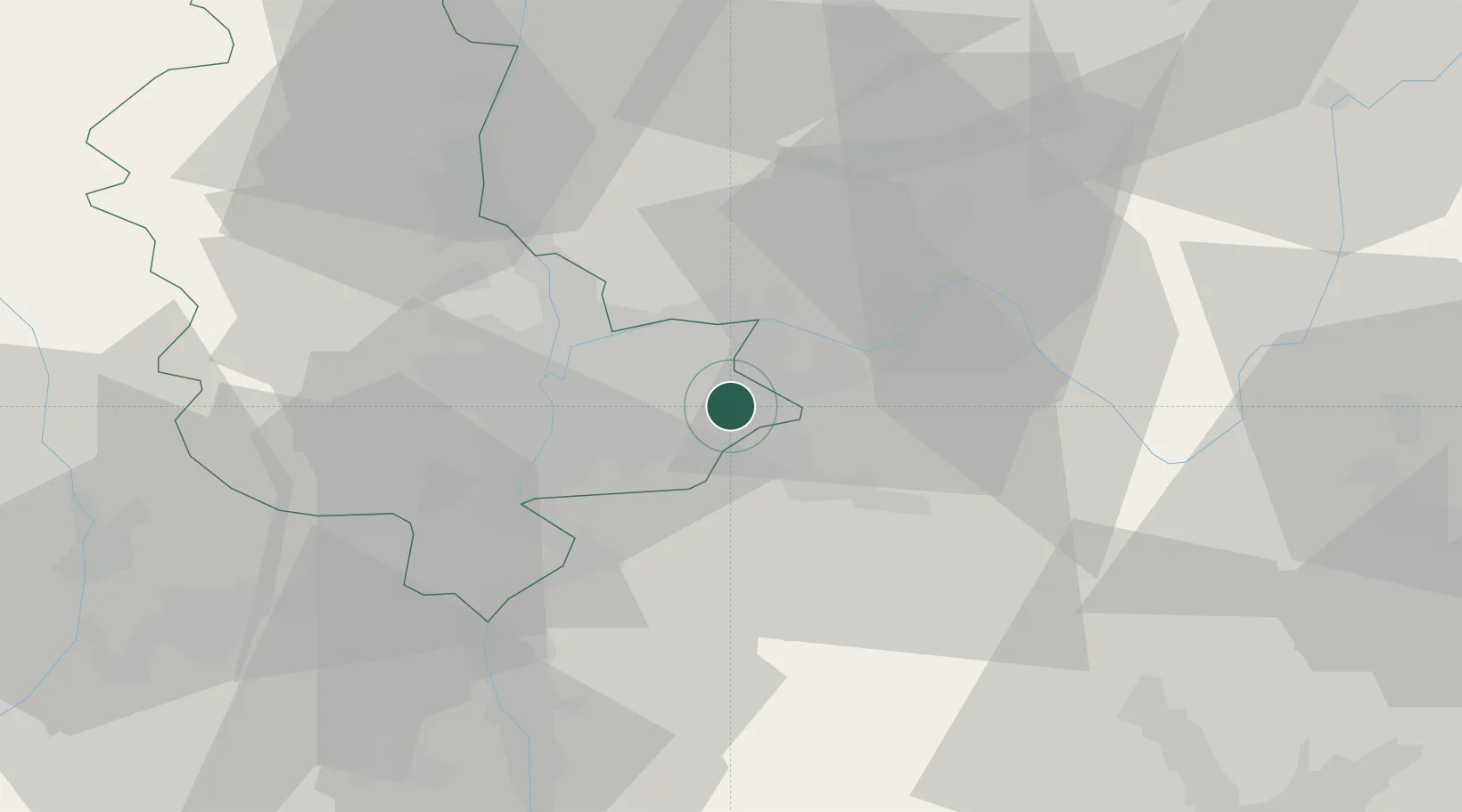
Location
Nearby Logistics Neighbours
Cities
- 1Colombier-Saugnieu4 km
- 2Janneyrias5 km
- 3Vénissieux6 km
- 4Villette-d'Anthon10 km
- 5Saint-Quentin-Fallavier10 km
Ports
- 1Fos256 km
- 2Port-de-Bouc258 km
- 3Port Saint Louis Du Rhone260 km
- 4Marseille268 km
- 5Sete279 km
Airports
Trade Zones
- 1ZFU Vaulx-en-Velin13 km
- 2ZFU Vénissieux17 km
- 3ZFU Rillieux-la-Pape20 km
- 4ZFU Lyon 9e21 km
- 5ZFU Saint-Etienne68 km
DatabookThe Record of Consolidated Knowledge
France beyond logistics?