Transport Functions
Rail
Road
Hub Profile
Place type
Populated place
Region
Rhône-Alpes
Population
57,584
Time zone
Europe/Paris
Elevation
194 m
Logistics facilities
1
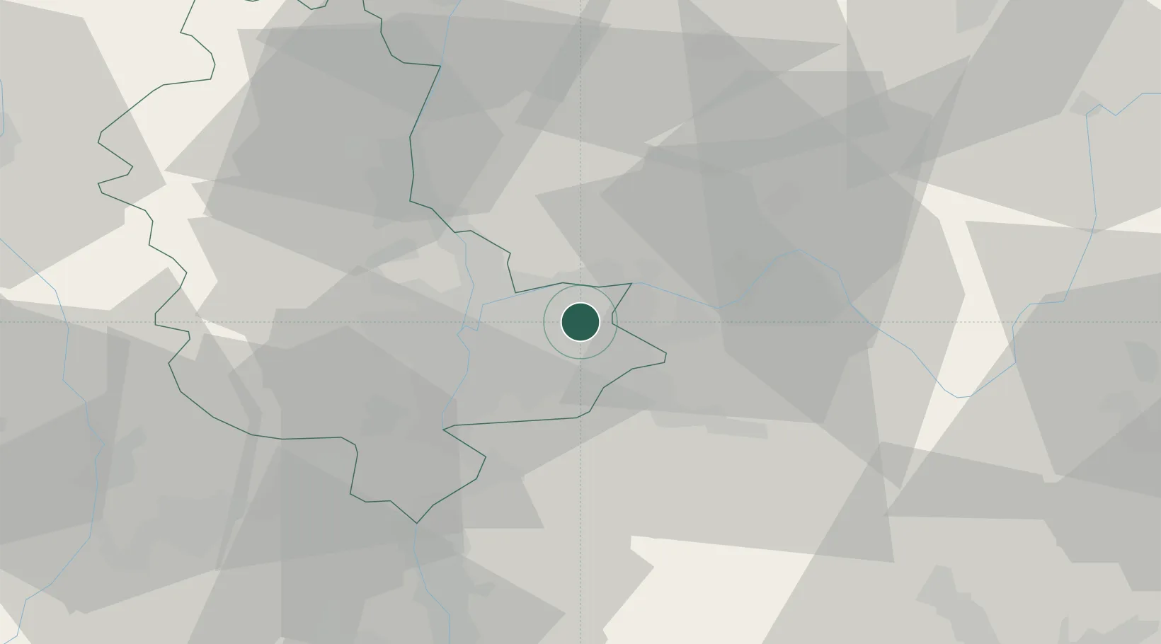
Location
Nearby Logistics Neighbours
Cities
- 1Janneyrias6 km
- 2Saint-Exupéry Apt/Lyon6 km
- 3Miribel8 km
- 4Villette-d'Anthon8 km
- 5Saint-Maurice-de-Beynost9 km
Ports
- 1Fos261 km
- 2Port-de-Bouc263 km
- 3Port Saint Louis Du Rhone265 km
- 4Marseille274 km
- 5Sete283 km
Airports
Trade Zones
- 1ZFU Vaulx-en-Velin8 km
- 2ZFU Rillieux-la-Pape14 km
- 3ZFU Vénissieux15 km
- 4ZFU Lyon 9e17 km
- 5ZFU Saint-Etienne68 km
DatabookThe Record of Consolidated Knowledge
France beyond logistics?