Transport Functions
Rail
Road
Hub Profile
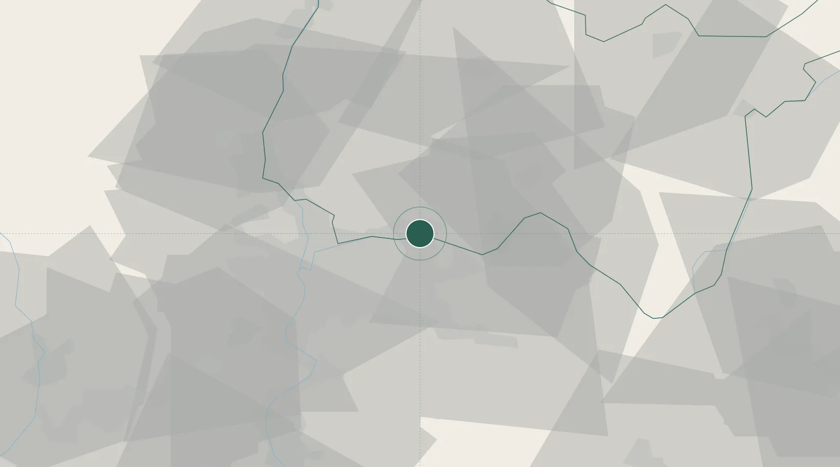
Place type
Populated place
Region
Rhône-Alpes
Population
2,610
Time zone
Europe/Paris
Elevation
196 m
Location
Nearby Logistics Neighbours
Cities
- 1La Valbonne3 km
- 2Bressolles4 km
- 3Villette-d'Anthon4 km
- 4Janneyrias9 km
- 5Vénissieux10 km
Ports
- 1Fos269 km
- 2Port-de-Bouc271 km
- 3Port Saint Louis Du Rhone273 km
- 4Marseille281 km
- 5Sete292 km
Airports
- 1Lyon Saint-Exupéry Airport12 km
- 2Lyon Bron Airport17 km
- 3Ambérieu Air Base (BA 278)25 km
- 4Grenoble Alpes Isère Airport55 km
- 5Mâcon-Charnay Airfield57 km
Trade Zones
- 1ZFU Vaulx-en-Velin15 km
- 2ZFU Rillieux-la-Pape19 km
- 3ZFU Lyon 9e24 km
- 4ZFU Vénissieux25 km
- 5ZFU Saint-Etienne77 km
DatabookThe Record of Consolidated Knowledge
France beyond logistics?