Transport Functions
Road
Multimodal
Hub Profile
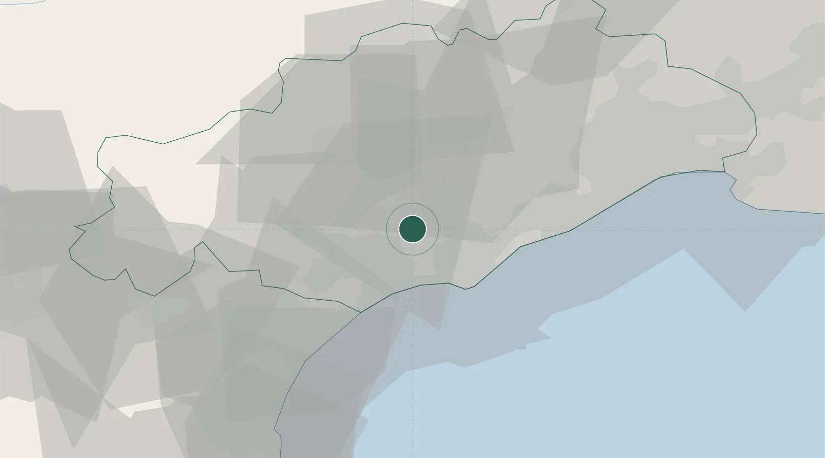
Place type
Populated place
Region
Occitanie
Population
1,276
Time zone
Europe/Paris
Elevation
60 m
Location
Nearby Logistics Neighbours
Cities
- 1Tourbes4 km
- 2Nézignan-l'Évêque4 km
- 3Saint-Thibéry4 km
- 4Pézenas6 km
- 5Castelnau-de-Guers6 km
Ports
- 1Sete27 km
- 2Port-La-Nouvelle51 km
- 3Port-Vendres102 km
- 4Port Saint Louis Du Rhone117 km
- 5Fos123 km
Airports
Trade Zones
- 1ZFU Béziers15 km
- 2ZFU Montpellier44 km
- 3ZFU Perpignan89 km
- 4ZFU Nîmes91 km
- 5ZFU Avignon130 km
DatabookThe Record of Consolidated Knowledge
France beyond logistics?