UN/LOCODE hub · France
FRDEG
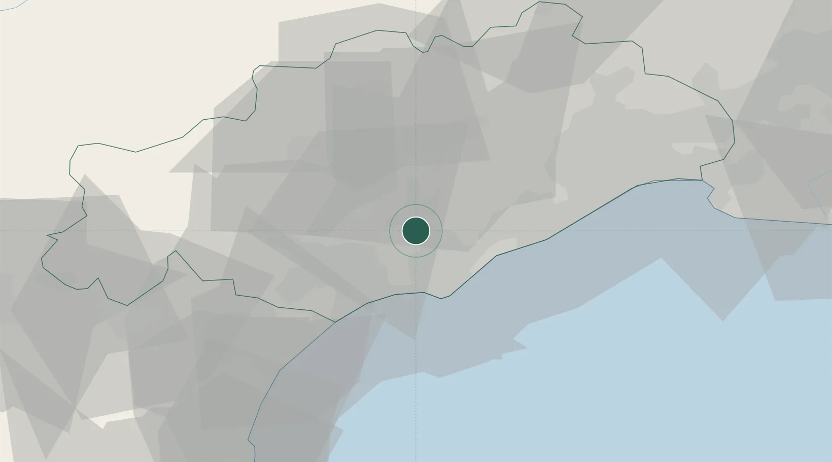
Castelnau-de-Guers
43.4333°, 3.4333°
1,013
Population
2
Transport functions
Transport Functions
Road
Multimodal
Hub Profile
Place type
Populated place
Region
Occitanie
Population
1,013
Time zone
Europe/Paris
Elevation
46 m
Location
Nearby Logistics Neighbours
Cities
- 1Pézenas2 km
- 2Nézignan-l'Évêque2 km
- 3Saint-Thibéry4 km
- 4Tourbes4 km
- 5Valros6 km
Ports
- 1Sete22 km
- 2Port-La-Nouvelle55 km
- 3Port-Vendres105 km
- 4Port Saint Louis Du Rhone112 km
- 5Fos117 km
Airports
Trade Zones
- 1ZFU Béziers21 km
- 2ZFU Montpellier38 km
- 3ZFU Nîmes85 km
- 4ZFU Perpignan93 km
- 5ZFU Avignon124 km
DatabookThe Record of Consolidated Knowledge
France beyond logistics?