UN/LOCODE hub · France
FRTYQ

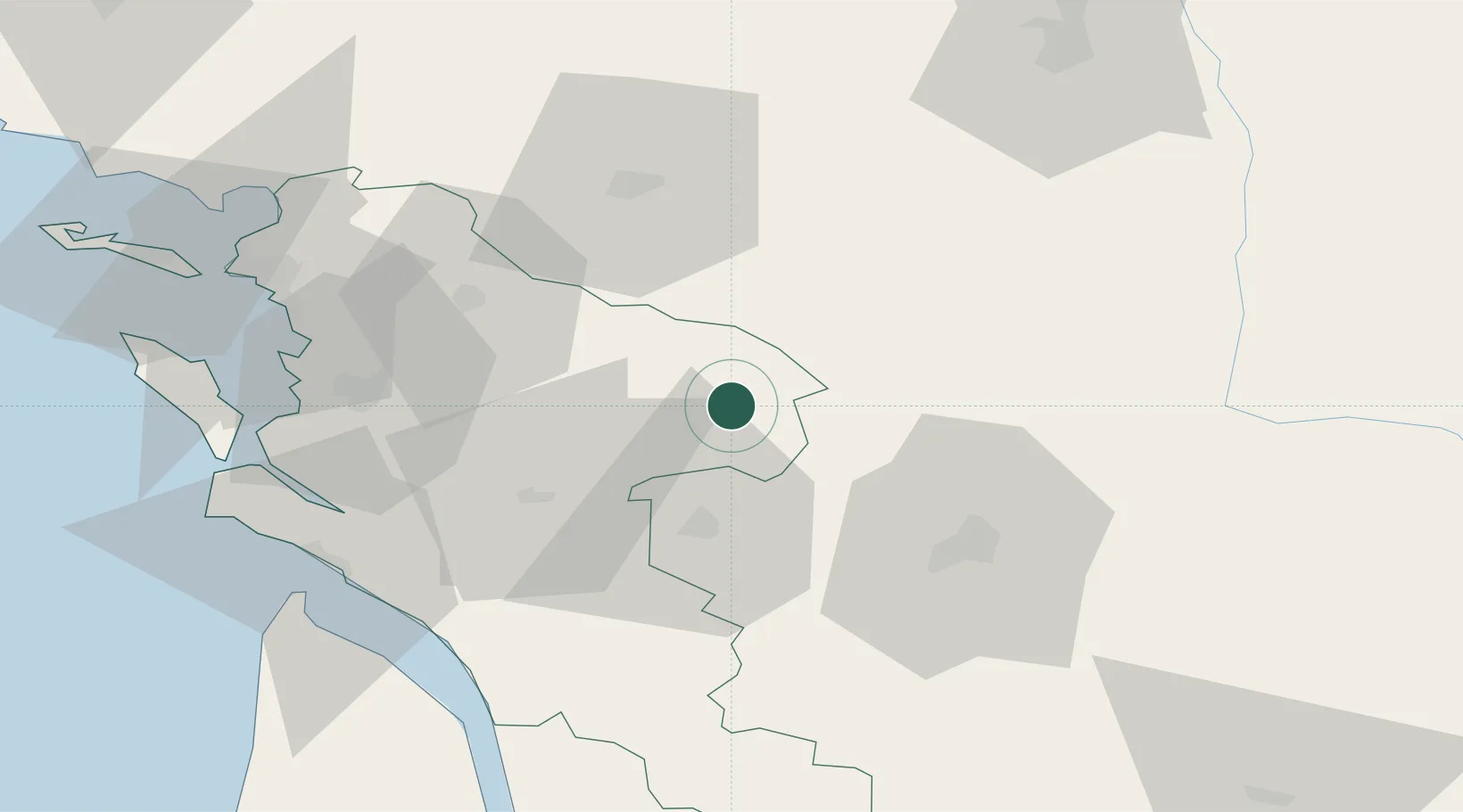
Les Touches-de-Périgny

45.9167°, -0.2667°
533
Population
2
Transport functions

Transport Functions

Road
Multimodal
UN/LOCODE

Hub Profile

Place type
Populated place
GeoNames
Region
Nouvelle-Aquitaine
GeoNames
Population
533
GeoNames
Time zone
Europe/Paris
GeoNames
Elevation
59 m
GeoNames

Location

Location of FRTYQ
Natural Earth 10m (public domain) · Nouvelle-Aquitaine · FRTYQ · 45.92, -0.27GoogleOSMYandex

Nearby Logistics Neighbours

Cities
  1. 1Gourvillette5 km
  2. 2Massac7 km
  3. 3Sonnac9 km
  4. 4Siecq11 km
  5. 5Aumagne12 km
Nearest neighbours — logibook spatial index (haversine) over the source coordinates
Ports
  1. 1Tonnay Charente49 km
  2. 2Rochefort53 km
  3. 3La Rochelle73 km
  4. 4Le Verdon73 km
  5. 5La Pallice78 km
Nearest neighbours — logibook spatial index (haversine) over the source coordinates
Airports
  1. 1Cognac-Châteaubernard (BA 709) Air Base29 km
  2. 2Angoulême Brie-Champniers airport43 km
  3. 3Niort - Marais Poitevin Airport45 km
  4. 4Rochefort-Saint-Agnant (BA 721) Airport56 km
  5. 5Royan-Médis Airport64 km
Nearest neighbours — logibook spatial index (haversine) over the source coordinates
Trade Zones
  1. 1ZFU La Rochelle78 km
  2. 2Port de Bordeaux114 km
  3. 3ZFU Hauts de Garonne123 km
  4. 4ZFU Angers176 km
  5. 5ZFU Nantes et Saint-Herblain182 km
Nearest neighbours — logibook spatial index (haversine) over the source coordinates
DatabookThe Record of Consolidated Knowledge
France beyond logistics?
Browse databook

All Sources

LocationsUN/LOCODE
UN/LOCODE — free
LocationsGeoNames
CC BY 4.0
Portsthe NGA World Port Index
Public domain (US gov)
AirportsOurAirports
Public domain
Trade Zonesthe World Bank SEZ database
CC BY 4.0
Trade ZonesOpen Zone Map
CC BY
← France locations