Transport Functions
Multimodal
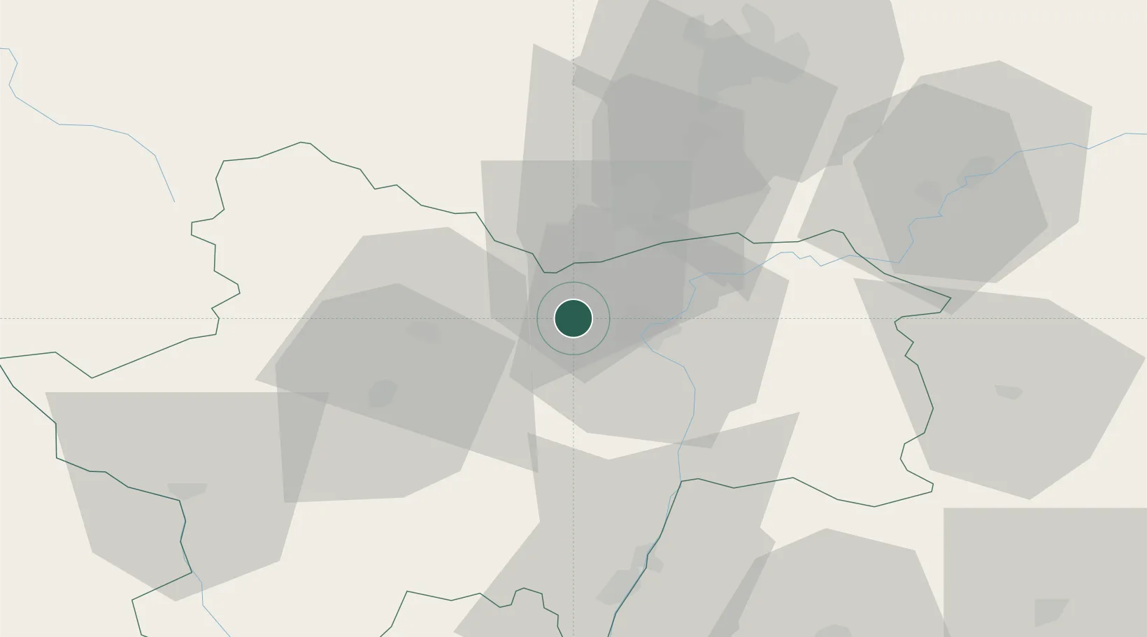
Hub Profile
Place type
Populated place
Region
Bourgogne
Population
1,197
Time zone
Europe/Paris
Elevation
214 m
Location
Nearby Logistics Neighbours
Cities
- 1Germolles2 km
- 2Saint-Jean-de-Vaux3 km
- 3Dracy-le-Fort3 km
- 4Givry4 km
- 5Aluze5 km
Ports
- 1Fos378 km
- 2Port-de-Bouc380 km
- 3Port Saint Louis Du Rhone382 km
- 4Sete389 km
- 5Marseille392 km
Airports
- 1Dijon Longvic airport57 km
- 2Mâcon-Charnay Airfield58 km
- 3Dole Tavaux Airport58 km
- 4Saint-Yan Airport71 km
- 5Roanne-Renaison Airport102 km
Trade Zones
- 1ZFU Chenôve56 km
- 2ZFU Besancon107 km
- 3ZFU Rillieux-la-Pape111 km
- 4ZFU Vaulx-en-Velin116 km
- 5ZFU Lyon 9e116 km
DatabookThe Record of Consolidated Knowledge
France beyond logistics?