UN/LOCODE hub · France
FRTQJ

Saint-Saturnin-d'Apt

43.9167°, 5.3667°
2
Transport functions

Transport Functions

Port
Multimodal
UN/LOCODE

Hub Profile

Region
84
GeoNames

Location

Location of FRTQJ
Natural Earth 10m (public domain) · 84 · FRTQJ · 43.92, 5.37GoogleOSMYandex

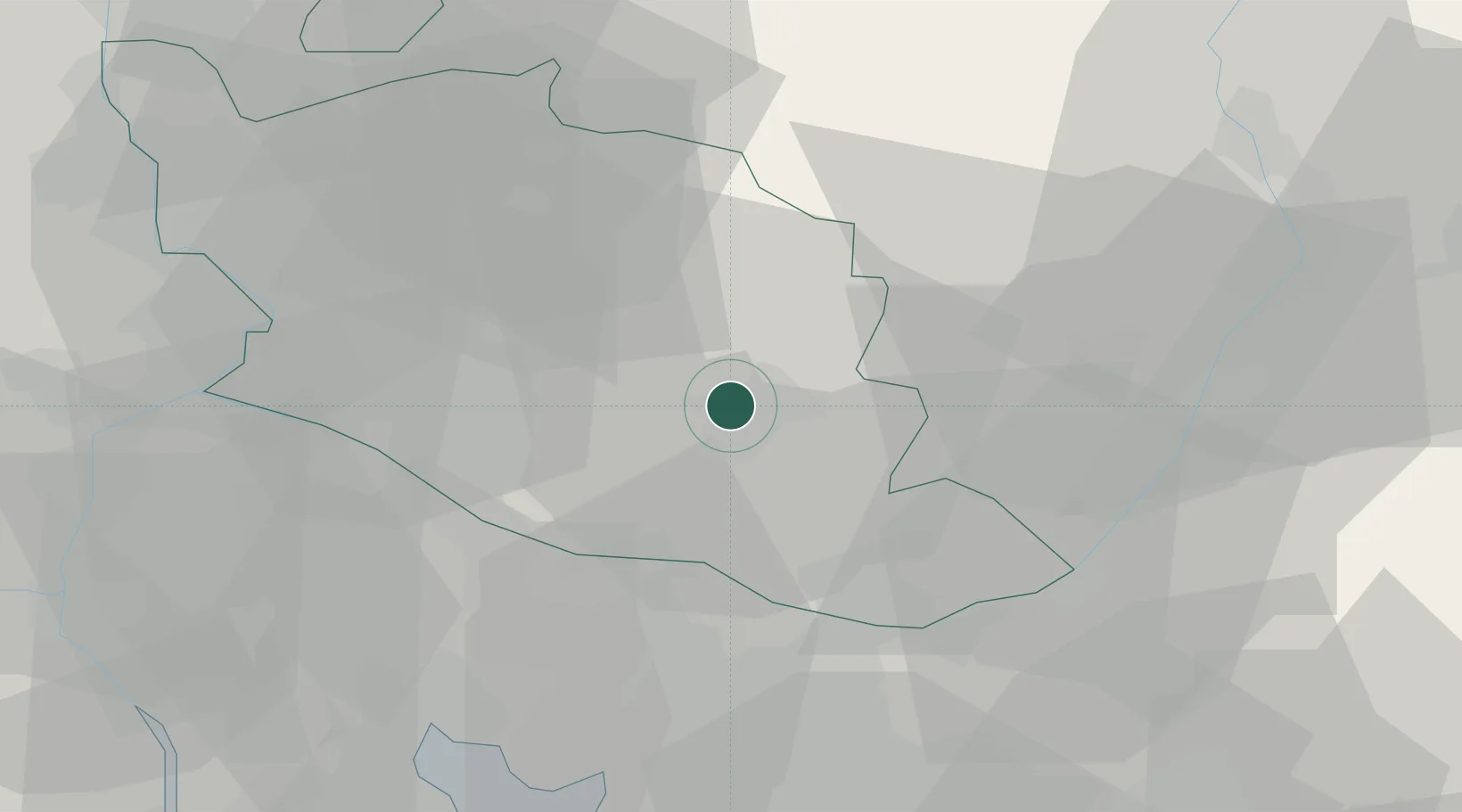
Nearby Logistics Neighbours

Cities
  1. 1Villars3 km
  2. 2Roussillon6 km
  3. 3Saignon8 km
  4. 4Joucas9 km
  5. 5Murs10 km
Nearest neighbours — logibook spatial index (haversine) over the source coordinates
Ports
  1. 1Port-de-Bouc65 km
  2. 2Marseille67 km
  3. 3Fos68 km
  4. 4Port Saint Louis Du Rhone74 km
  5. 5Toulon101 km
Nearest neighbours — logibook spatial index (haversine) over the source coordinates
Airports
  1. 1Avignon Caumont airport37 km
  2. 2Salon-de-Provence (BA 701) Air Base40 km
  3. 3Orange-Caritat (BA 115) Air Base47 km
  4. 4Marseille Provence Airport55 km
  5. 5Istres-Le Tubé Air Base56 km
Nearest neighbours — logibook spatial index (haversine) over the source coordinates
Trade Zones
  1. 1ZFU Avignon45 km
  2. 2ZFU Marseille 15e et 16e65 km
  3. 3ZFU Saint-Barthélémy, Le Canet, Delorme-Paternelle72 km
  4. 4ZFU Nîmes83 km
  5. 5ZFU Toulon100 km
Nearest neighbours — logibook spatial index (haversine) over the source coordinates
DatabookThe Record of Consolidated Knowledge
France beyond logistics?
Browse databook

All Sources

LocationsUN/LOCODE
UN/LOCODE — free
Portsthe NGA World Port Index
Public domain (US gov)
AirportsOurAirports
Public domain
Trade Zonesthe World Bank SEZ database
CC BY 4.0
Trade ZonesOpen Zone Map
CC BY
← France locations