Transport Functions
Multimodal
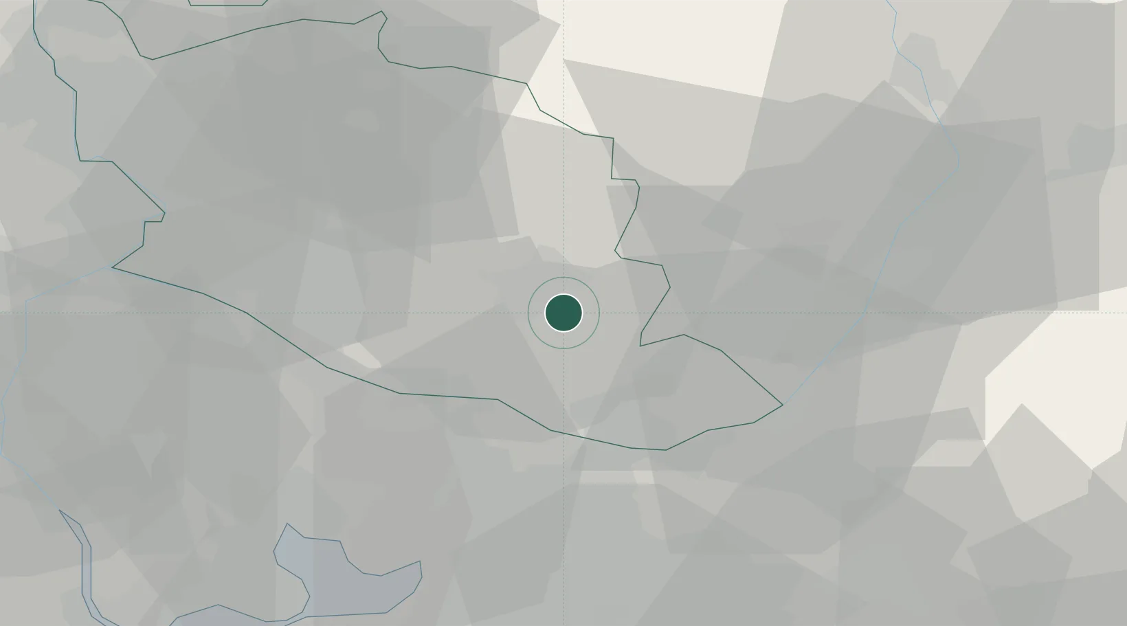
Hub Profile
Place type
Populated place
Region
Provence-Alpes-Côte d'Azur
Population
1,009
Time zone
Europe/Paris
Elevation
481 m
Location
Nearby Logistics Neighbours
Cities
- 1Puyricard4 km
- 2Caseneuve4 km
- 3Villars6 km
- 4Saint-Saturnin-d'Apt8 km
- 5Cucuron9 km
Ports
- 1Marseille61 km
- 2Port-de-Bouc63 km
- 3Fos67 km
- 4Port Saint Louis Du Rhone73 km
- 5Toulon94 km
Airports
Trade Zones
- 1ZFU Avignon51 km
- 2ZFU Marseille 15e et 16e60 km
- 3ZFU Saint-Barthélémy, Le Canet, Delorme-Paternelle67 km
- 4ZFU Nîmes87 km
- 5ZFU Toulon92 km
DatabookThe Record of Consolidated Knowledge
France beyond logistics?