Transport Functions
Multimodal
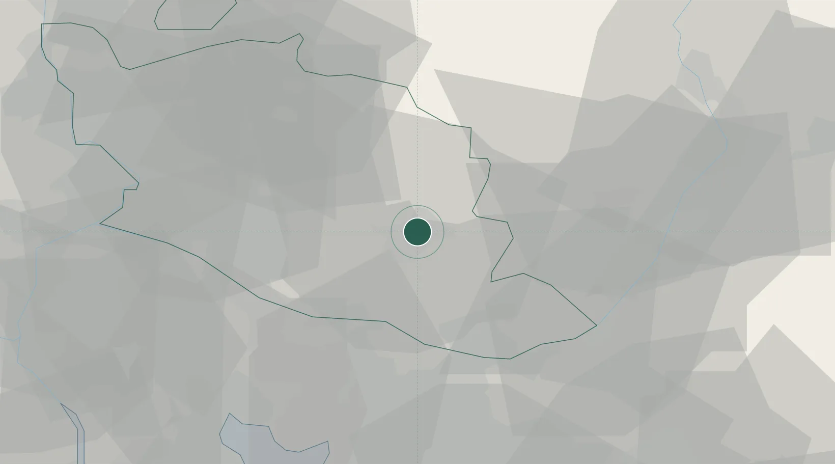
Hub Profile
Place type
Populated place
Region
Provence-Alpes-Côte d'Azur
Population
700
Time zone
Europe/Paris
Elevation
320 m
Location
Nearby Logistics Neighbours
Cities
- 1Saint-Saturnin-d'Apt3 km
- 2Saignon6 km
- 3Caseneuve8 km
- 4Roussillon8 km
- 5Puyricard9 km
Ports
- 1Port-de-Bouc67 km
- 2Marseille67 km
- 3Fos69 km
- 4Port Saint Louis Du Rhone76 km
- 5Toulon100 km
Airports
Trade Zones
- 1ZFU Avignon48 km
- 2ZFU Marseille 15e et 16e65 km
- 3ZFU Saint-Barthélémy, Le Canet, Delorme-Paternelle72 km
- 4ZFU Nîmes85 km
- 5ZFU Toulon99 km
DatabookThe Record of Consolidated Knowledge
France beyond logistics?