Transport Functions
Multimodal
Hub Profile
Place type
Populated place
Region
Provence-Alpes-Côte d'Azur
Population
338
Time zone
Europe/Paris
Elevation
259 m
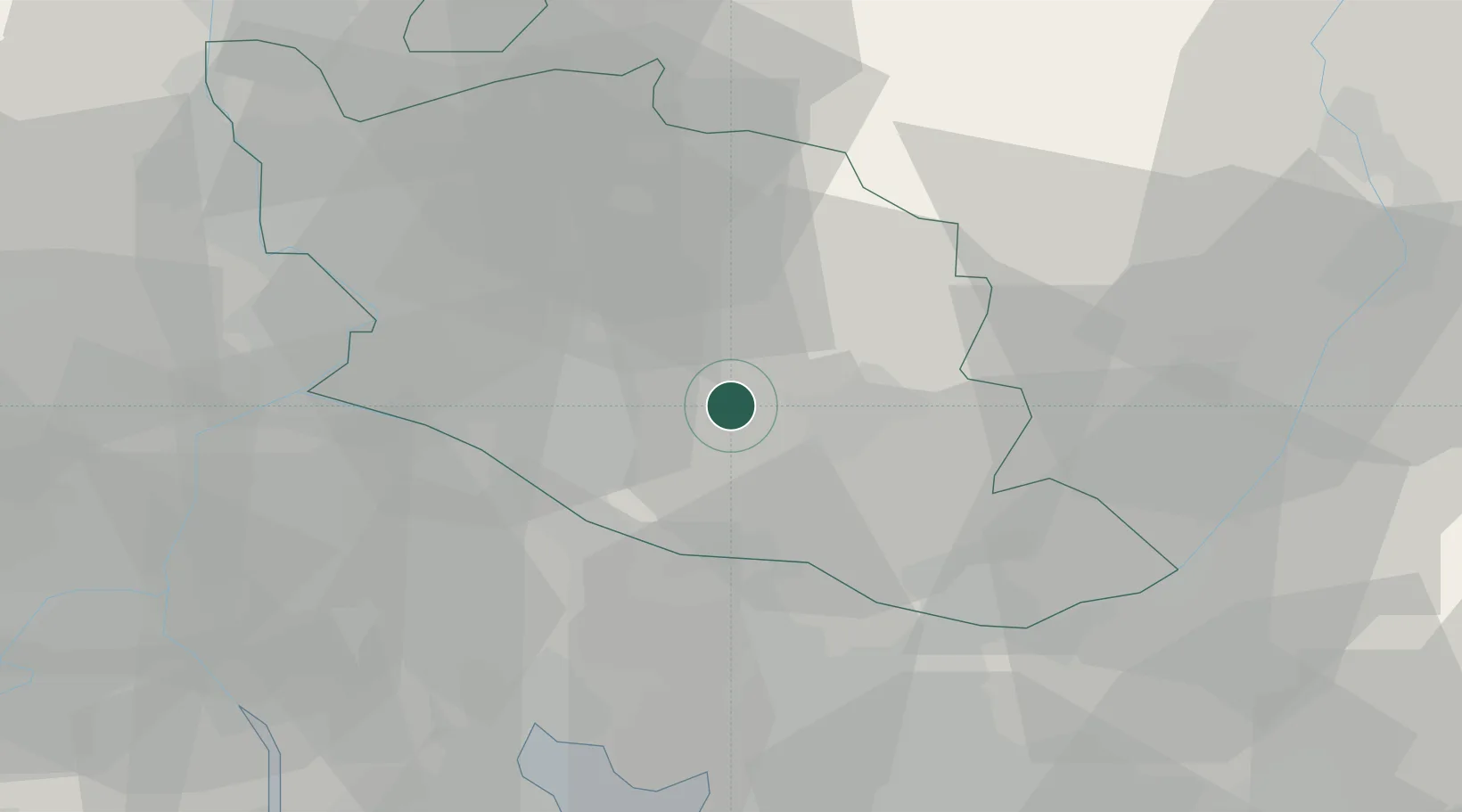
Location
Nearby Logistics Neighbours
Cities
- 1Murs4 km
- 2Gordes4 km
- 3Roussillon4 km
- 4Goult6 km
- 5Coustellet7 km
Ports
- 1Port-de-Bouc61 km
- 2Fos63 km
- 3Marseille67 km
- 4Port Saint Louis Du Rhone69 km
- 5Toulon106 km
Airports
Trade Zones
- 1ZFU Avignon36 km
- 2ZFU Marseille 15e et 16e66 km
- 3ZFU Saint-Barthélémy, Le Canet, Delorme-Paternelle71 km
- 4ZFU Nîmes73 km
- 5ZFU La Seyne-sur-Mer104 km
DatabookThe Record of Consolidated Knowledge
France beyond logistics?