Transport Functions
Rail
Road
Hub Profile
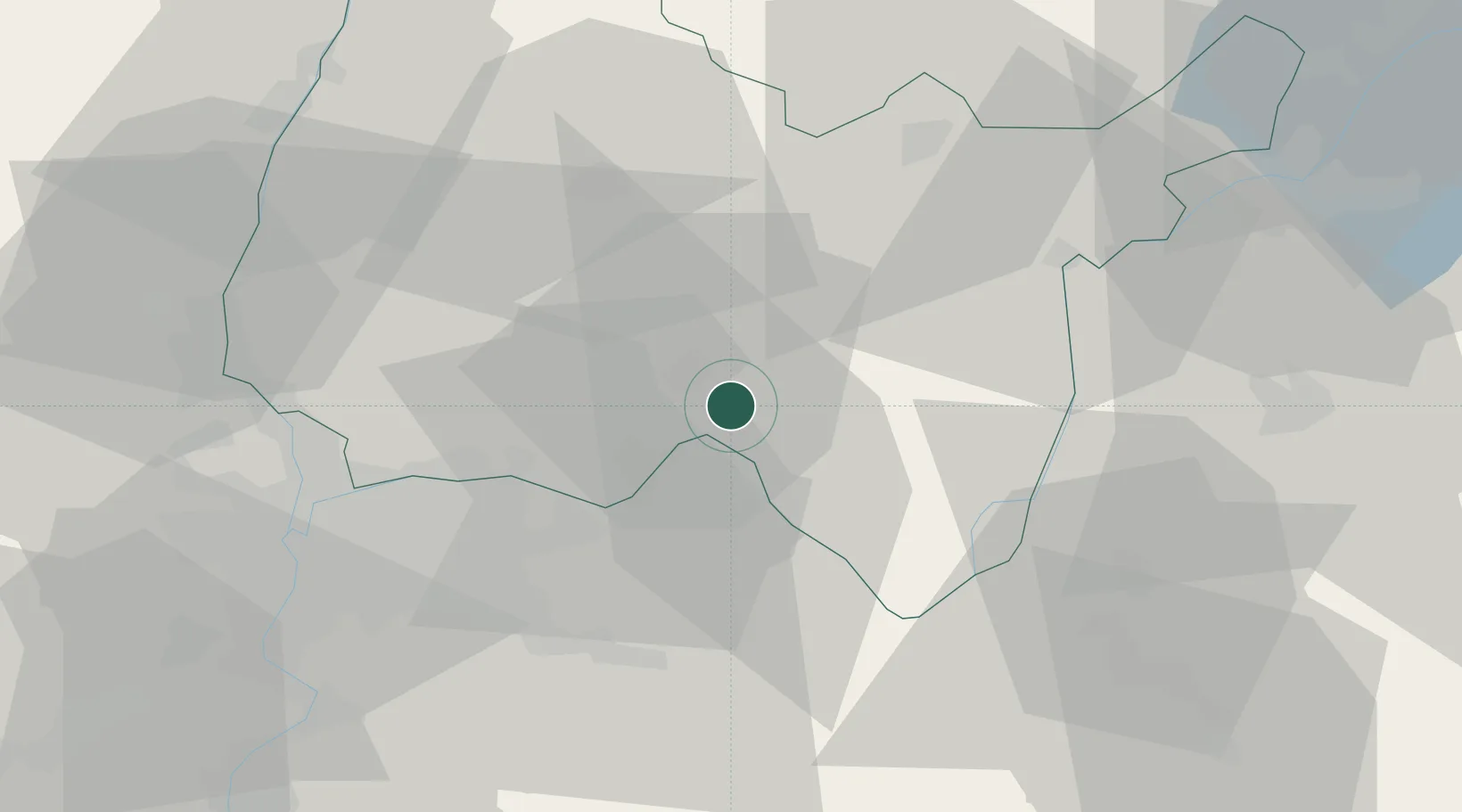
Place type
Populated place
Region
Rhône-Alpes
Population
634
Time zone
Europe/Paris
Elevation
266 m
Location
Nearby Logistics Neighbours
Cities
- 1Vaux-en-Bugey4 km
- 2Saint-Sorlin-en-Bugey5 km
- 3Saint-Denis-en-Bugey6 km
- 4Villebois8 km
- 5Tenay9 km
Ports
- 1Fos281 km
- 2Port-de-Bouc282 km
- 3Port Saint Louis Du Rhone285 km
- 4Nice288 km
- 5Marseille289 km
Airports
Trade Zones
- 1ZFU Vaulx-en-Velin40 km
- 2ZFU Rillieux-la-Pape43 km
- 3ZFU Lyon 9e49 km
- 4ZFU Vénissieux49 km
- 5Port Franc de Geneve61 km
DatabookThe Record of Consolidated Knowledge
France beyond logistics?