UN/LOCODE hub · France
FRD2B

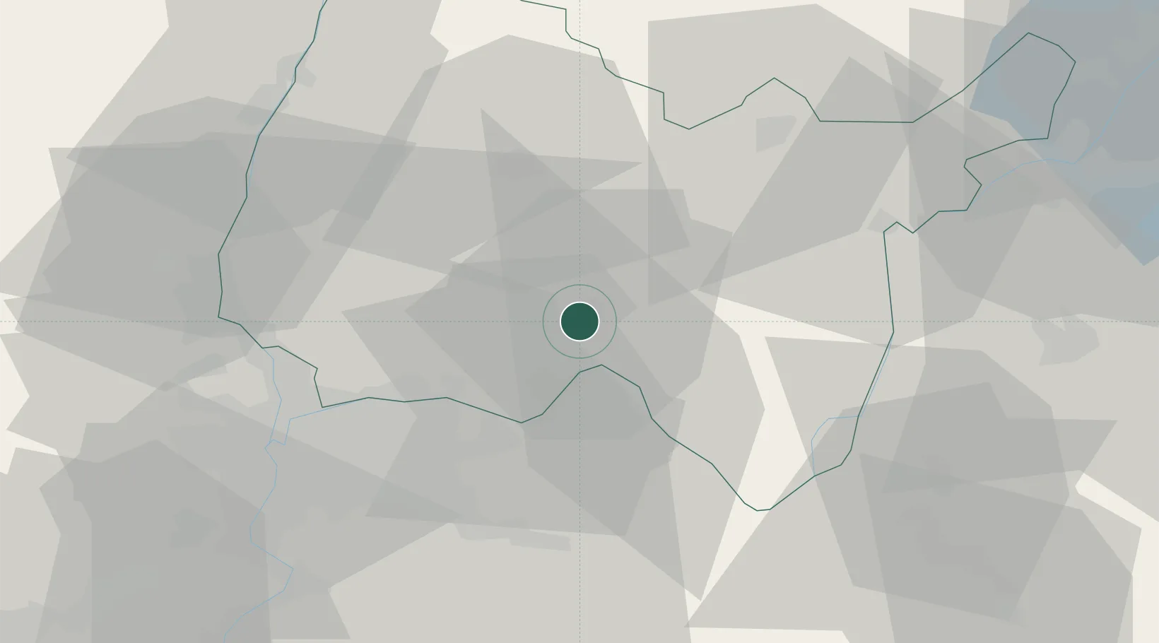
Saint-Denis-en-Bugey

45.9500°, 5.3333°
2,132
Population
2
Transport functions

Transport Functions

Road
Multimodal
UN/LOCODE

Hub Profile

Place type
Populated place
GeoNames
Region
Rhône-Alpes
GeoNames
Population
2,132
GeoNames
Time zone
Europe/Paris
GeoNames
Elevation
245 m
GeoNames

Location

Location of FRD2B
Natural Earth 10m (public domain) · Rhône-Alpes · FRD2B · 45.95, 5.33GoogleOSMYandex

Nearby Logistics Neighbours

Cities
  1. 1Vaux-en-Bugey2 km
  2. 2Torcieu6 km
  3. 3Saint-Sorlin-en-Bugey8 km
  4. 4Saint-Jean-le-Vieux8 km
  5. 5Pont-d'Ain11 km
Nearest neighbours — logibook spatial index (haversine) over the source coordinates
Ports
  1. 1Fos284 km
  2. 2Port-de-Bouc285 km
  3. 3Port Saint Louis Du Rhone288 km
  4. 4Marseille293 km
  5. 5Nice294 km
Nearest neighbours — logibook spatial index (haversine) over the source coordinates
Airports
  1. 1Ambérieu Air Base (BA 278)4 km
  2. 2Lyon Saint-Exupéry Airport31 km
  3. 3Lyon Bron Airport39 km
  4. 4Chambéry Aix les Bains airport55 km
  5. 5Mâcon-Charnay Airfield57 km
Nearest neighbours — logibook spatial index (haversine) over the source coordinates
Trade Zones
  1. 1ZFU Vaulx-en-Velin37 km
  2. 2ZFU Rillieux-la-Pape39 km
  3. 3ZFU Lyon 9e45 km
  4. 4ZFU Vénissieux47 km
  5. 5Port Franc de Geneve64 km
Nearest neighbours — logibook spatial index (haversine) over the source coordinates
DatabookThe Record of Consolidated Knowledge
France beyond logistics?
Browse databook

All Sources

LocationsUN/LOCODE
UN/LOCODE — free
LocationsGeoNames
CC BY 4.0
Portsthe NGA World Port Index
Public domain (US gov)
AirportsOurAirports
Public domain
Trade Zonesthe World Bank SEZ database
CC BY 4.0
Trade ZonesOpen Zone Map
CC BY
← France locations