Transport Functions
Rail
Road
Hub Profile
Place type
Populated place
Region
Rhône-Alpes
Population
1,182
Time zone
Europe/Paris
Elevation
331 m
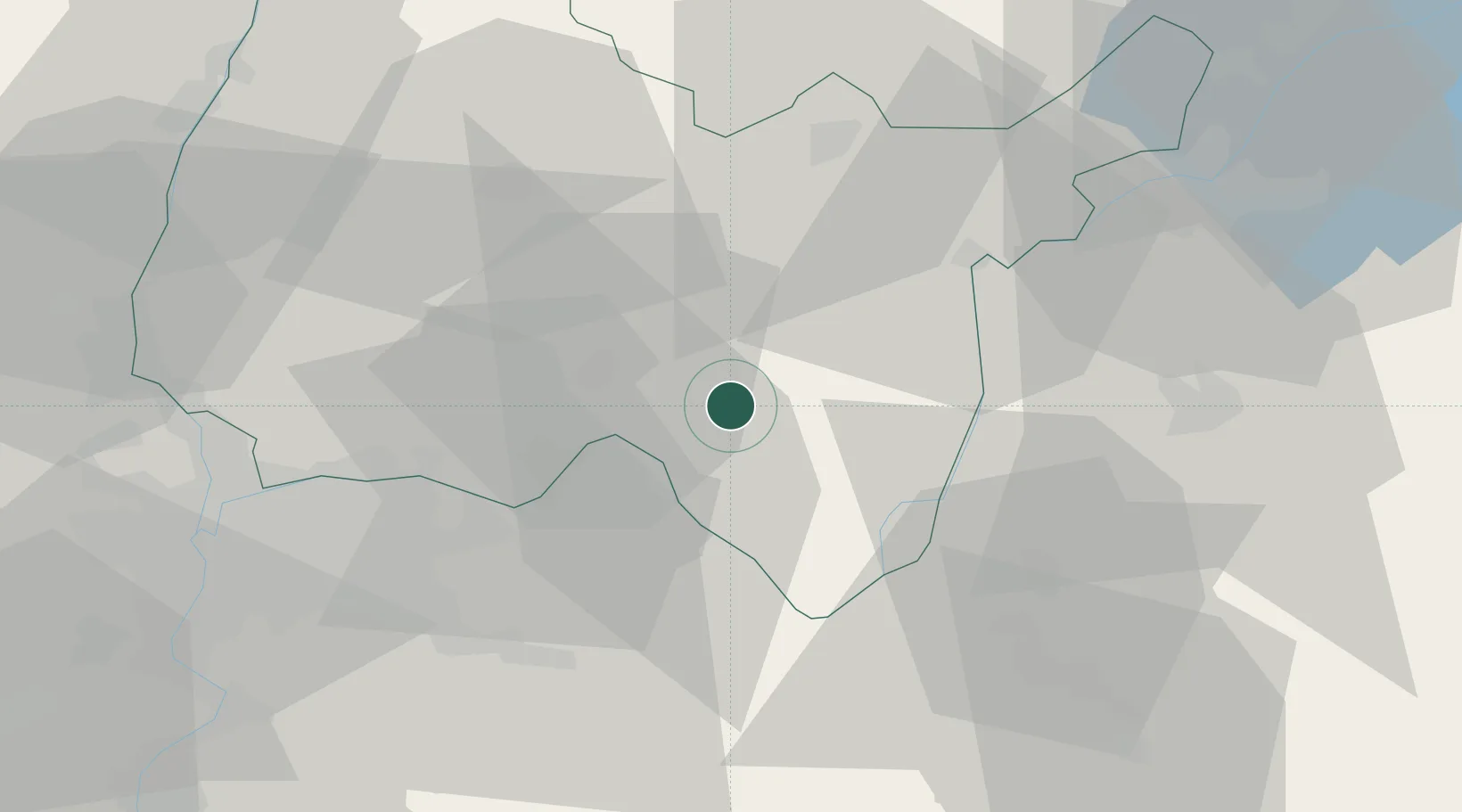
Location
Nearby Logistics Neighbours
Cities
- 1Torcieu9 km
- 2Villebois10 km
- 3Boyeux-Saint-Jérôme12 km
- 4Saint-Sorlin-en-Bugey12 km
- 5Porcieu-Amblagnieu13 km
Ports
- 1Fos283 km
- 2Port-de-Bouc283 km
- 3Nice283 km
- 4Villefranche284 km
- 5Monaco285 km
Airports
Trade Zones
DatabookThe Record of Consolidated Knowledge
France beyond logistics?