UN/LOCODE hub · France
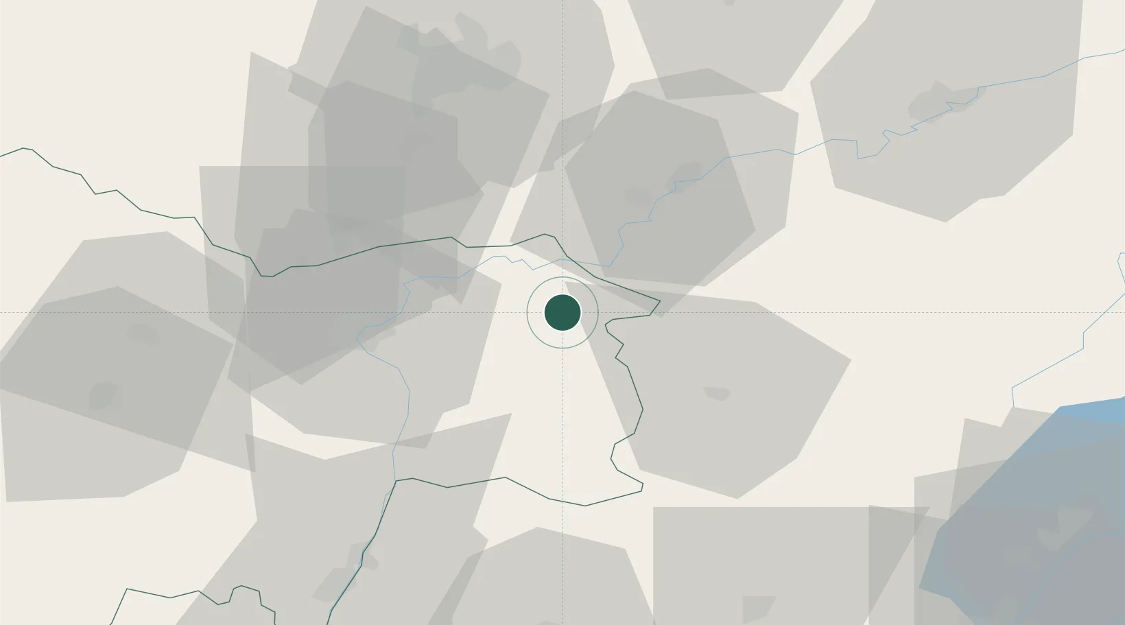
FRCS2

La Chapelle-Saint-Sauveur

46.8333°, 5.2667°
653
Population
2
Transport functions

Transport Functions

Port
Multimodal
UN/LOCODE

Hub Profile

Place type
Populated place
GeoNames
Region
Bourgogne
GeoNames
Population
653
GeoNames
Time zone
Europe/Paris
GeoNames
Elevation
204 m
GeoNames

Location

Location of FRCS2
Natural Earth 10m (public domain) · Bourgogne · FRCS2 · 46.83, 5.27GoogleOSMYandex

Nearby Logistics Neighbours

Cities
  1. 1Toutenant12 km
  2. 2Seurre19 km
  3. 3Trugny19 km
  4. 4Verdun-sur-le-Doubs20 km
  5. 5Montagny-lès-Seurre20 km
Nearest neighbours — logibook spatial index (haversine) over the source coordinates
Ports
  1. 1Savona376 km
  2. 2Rada Di Vado378 km
  3. 3Fos381 km
  4. 4Port-de-Bouc382 km
  5. 5Nice383 km
Nearest neighbours — logibook spatial index (haversine) over the source coordinates
Airports
  1. 1Dole Tavaux Airport26 km
  2. 2Dijon Longvic airport50 km
  3. 3Mâcon-Charnay Airfield70 km
  4. 4Geneva Cointrin International Airport92 km
  5. 5Ambérieu Air Base (BA 278)94 km
Nearest neighbours — logibook spatial index (haversine) over the source coordinates
Trade Zones
  1. 1ZFU Chenôve55 km
  2. 2ZFU Besancon72 km
  3. 3Geneva Cointrin International Airport Free Port93 km
  4. 4Port Franc de Geneve96 km
  5. 5Geneva Freeport, La Praille, Geneva97 km
Nearest neighbours — logibook spatial index (haversine) over the source coordinates
DatabookThe Record of Consolidated Knowledge
France beyond logistics?
Browse databook

All Sources

LocationsUN/LOCODE
UN/LOCODE — free
LocationsGeoNames
CC BY 4.0
Portsthe NGA World Port Index
Public domain (US gov)
AirportsOurAirports
Public domain
Trade Zonesthe World Bank SEZ database
CC BY 4.0
Trade ZonesOpen Zone Map
CC BY
← France locations