Transport Functions
Multimodal
Hub Profile
Region
01
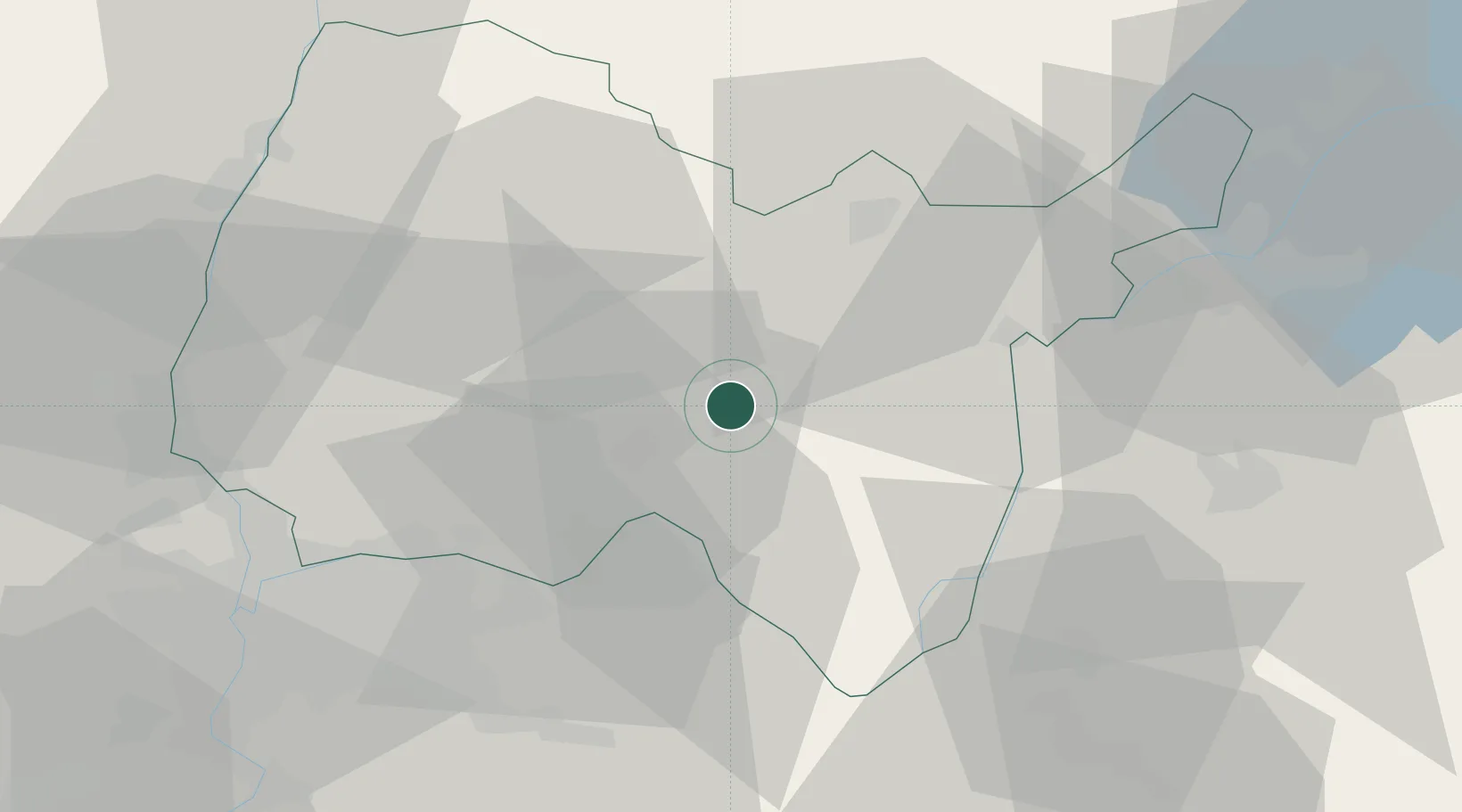
Location
Nearby Logistics Neighbours
Cities
- 1Jujurieux4 km
- 2Mérignat6 km
- 3Saint-Jean-le-Vieux6 km
- 4Cerdon7 km
- 5Pont-d'Ain11 km
Ports
- 1Fos293 km
- 2Port-de-Bouc294 km
- 3Nice295 km
- 4Villefranche296 km
- 5Monaco297 km
Airports
Trade Zones
DatabookThe Record of Consolidated Knowledge
France beyond logistics?