Transport Functions
Rail
Road
Hub Profile
Place type
Populated place
Region
Provence-Alpes-Côte d'Azur
Population
3,404
Time zone
Europe/Paris
Elevation
303 m
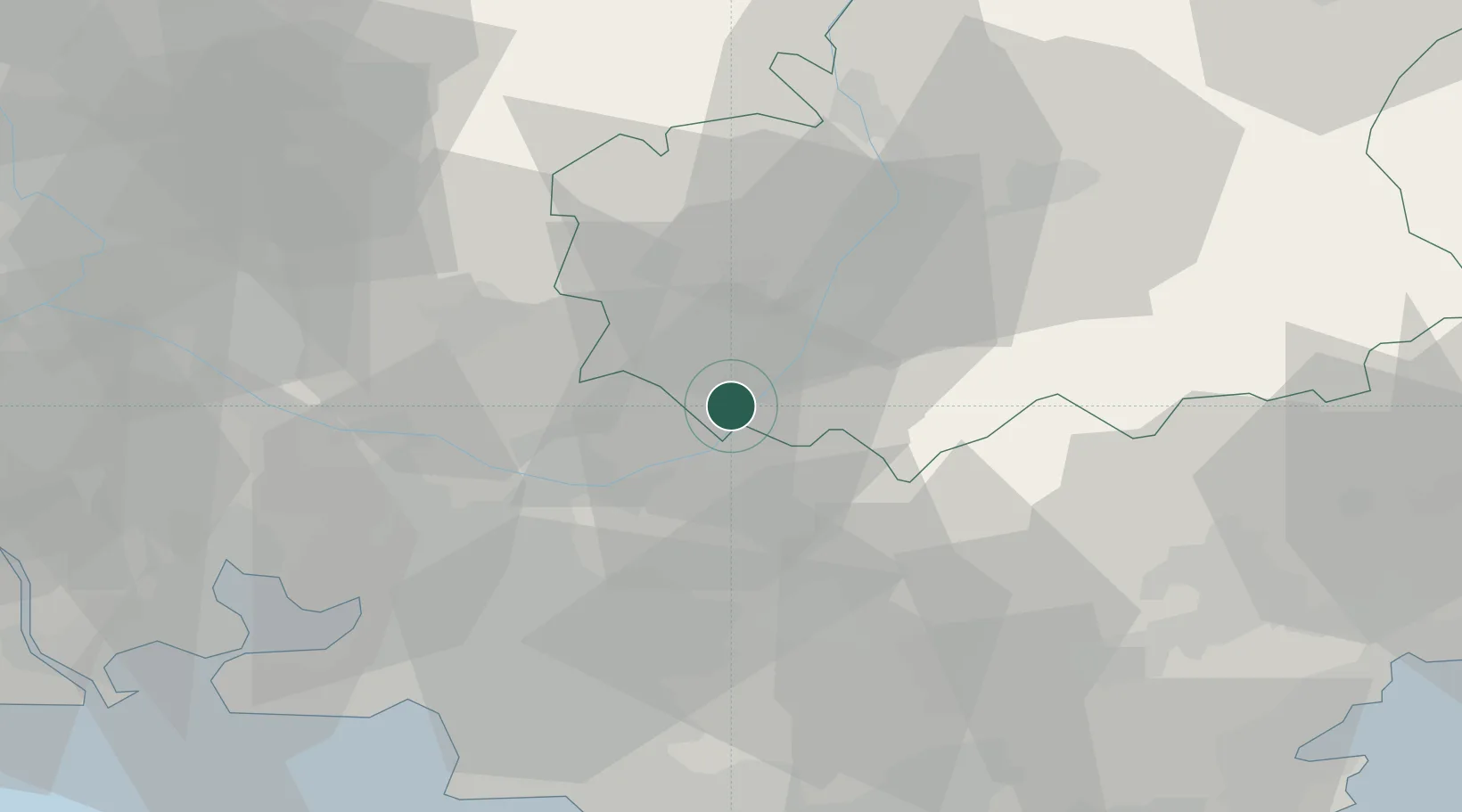
Location
Nearby Logistics Neighbours
Cities
- 1Beaumont-de-Pertuis8 km
- 2Gréoux-les-Bains10 km
- 3Montjustin13 km
- 4Grambois15 km
- 5Villeneuve15 km
Ports
- 1Marseille61 km
- 2Port-de-Bouc76 km
- 3Toulon77 km
- 4Fos82 km
- 5Port Saint Louis Du Rhone89 km
Airports
Trade Zones
- 1ZFU Marseille 15e et 16e60 km
- 2ZFU Saint-Barthélémy, Le Canet, Delorme-Paternelle70 km
- 3ZFU Toulon75 km
- 4ZFU La Seyne-sur-Mer78 km
- 5ZFU Avignon79 km
DatabookThe Record of Consolidated Knowledge
France beyond logistics?